The Best Insider’s Road Trip Travel Guide to Big Sur
Last Updated on January 10, 2025
When it comes to road trips, there’s nothing quite like riding down the coastal cliff sides of Big Sur. Highway 1 is one of the most scenic roads in California and possibly one of the most beautiful coasts in the world. The Big Sur region is one of my dearest local destinations. Here’s an insider’s guide to road trips and traveling the Big Sur, from someone who’s had the privilege of trekking all over California for over five years.
Before heading out, make sure to double check road conditions on Highway 1. As of January 2025, there are closures south of Julia Pfeiffer Burns Park due to landslides. Roads will likely be reopened this summer.
This post may contain affiliate links. I may receive a commission for purchases made through the included links. I will only recommend products and companies that I personally trust and recommend.
Insider’s Roadtrip Travel Guide to Big Sur
Roads to get there
Highway 1 is the main route to travel to Big Sur, and it’s a majestic drive along the coastal cliffs of California. You can see the far-out Pacific Ocean driving along the road. You’ll probably take two main directions when heading down this highway, so we’ll talk about your options (and what you’ll need to consider before driving out!)
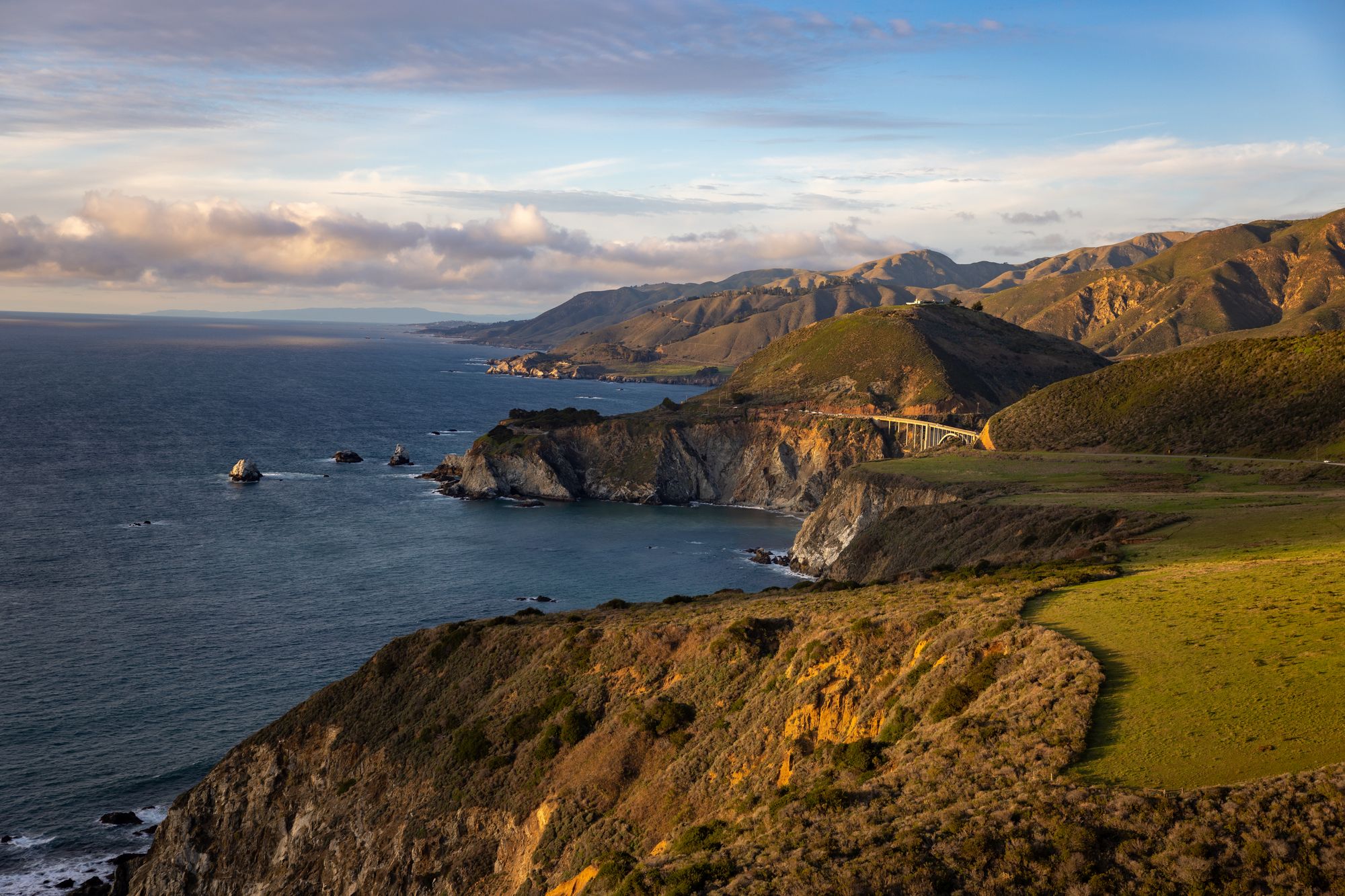
View of the road along Big Sur
LA up to North
As of writing, the route to Big Sur from Los Angeles going north is closed due to a landslide at Paul’s Slide in January 2023. Travelers from Los Angeles can ride up North from Highway 101 instead and go down south once they reach Monterey.
However, as I mentioned before, the authorities are saying the road will be opened again in spring, so be sure to check their website for updates!
Without road closures, the drive from Los Angeles to Big Sur’s southern starting line (Ragged Point) is roughly 4 hours. If you’re interested in nature walks, Salmon Creek Falls is also near here as well. You can finish the entire trip in a day, but the best way to enjoy this view for yourself is by taking some time and stretching it out for a couple of days. Each stop along the road has a few hotels or inns to stay in, so you won’t have to worry too much about accommodations!
This route will also stop by important cities, districts, and landmarks just on the outskirts of Los Angeles, like Malibu, Santa Barbara, and Hearst Castle. It’s a sunny ride down, so bring your cap and sunscreen along the way!
San Francisco down to South
As an overall estimate, it usually takes 2.5 hours to get from San Francisco to Bixby Bridge, the northern start of Big Sur. Depending on your schedule, you can take Highway 101 from San Francisco’s Mission District (which will only take around two hours) or cruise down Highway 1 directly from the Sunset District (which takes around 3 hours).
This route from north to south is known for its fantastic views of the coast as well as its charming stops along the way to Big Sur. If you’re heading down to the South, be sure to make stops by Pacifica and the Marina near Monterey Bay along Highway 1.
Since this is the route most individuals will take this spring, we’ll be going through all of Big Sur’s best attractions from the North to the South.
Where to go in Big Sur
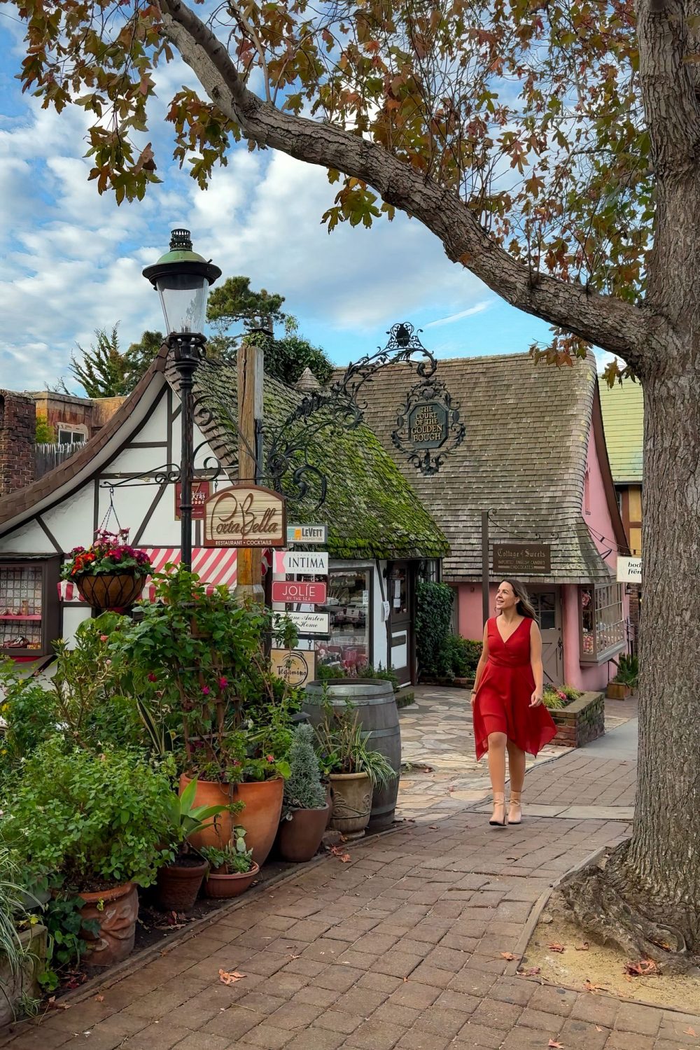
Carmel is not a part of Big Sur, but you’ll likely make a stop there along the way as it comes just before the Pacific Coast Highway when heading south. In that direction, this little town is a must-see location for all sorts of visitors. It has a wonderful view of the coast, but the town’s fairy-tale aesthetic makes you feel like you’re entering a completely different world once you roll by the thatched roofs and iron lamp posts.
Fairytale-like streets of Carmel
It’s a town with many roots in artistry and creativity, and it shows in every facet of the town’s construction. The roads are paved in neat cobblestone, there are potted plants and decorative street lights on every corner, and there are countless art galleries dotted all over the place.
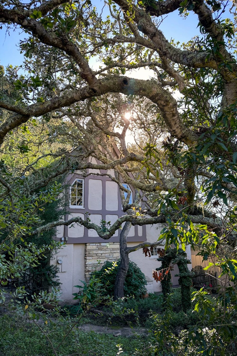
Even the hiking trails and beaches look like they were handcrafted to fit in a storybook setting. The beaches are pristine, and wildflowers grow along the dirt pathways stretching along the coast.
Calla Lily Valley
California has had its fair share of captivating flower fields, but there’s something uniquely breathtaking about seeing a sea of calla lilies sprouting along this great expanse. Some of the recent storms blew through the valley and damaged some of the scenery, but the beauty of the blooming flowers remains.
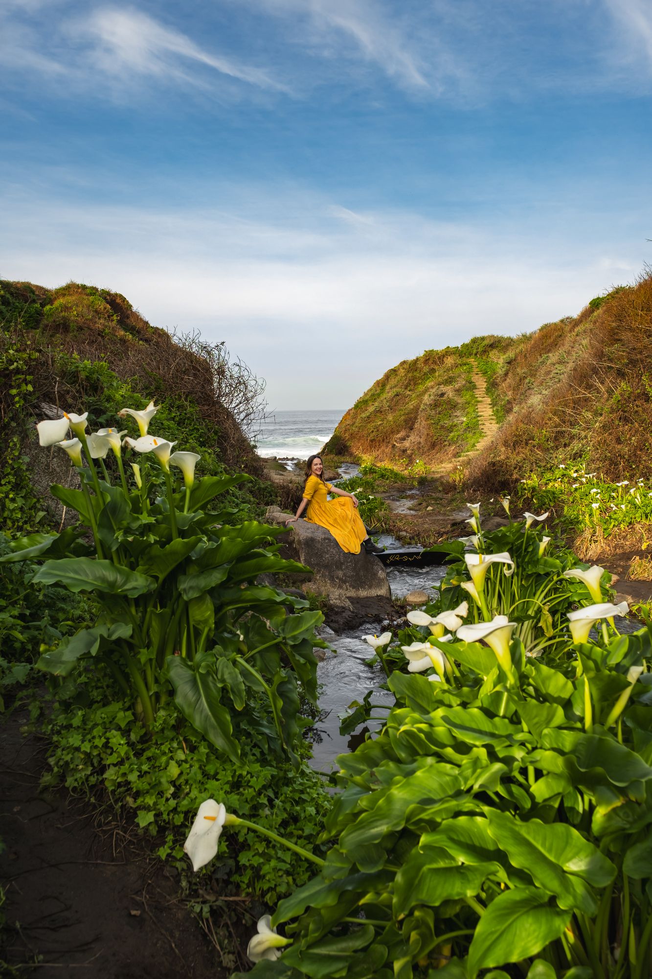
The Calla Lily Valley
These flowers sprout from February to April and bring a white hue throughout the valley. When you walk down the pathway to the flowers, remember to bring rain boots and extra protection against the damp soil. You’ll also want to cover your legs, feet, and arms since poison ivy grows among the flowers.
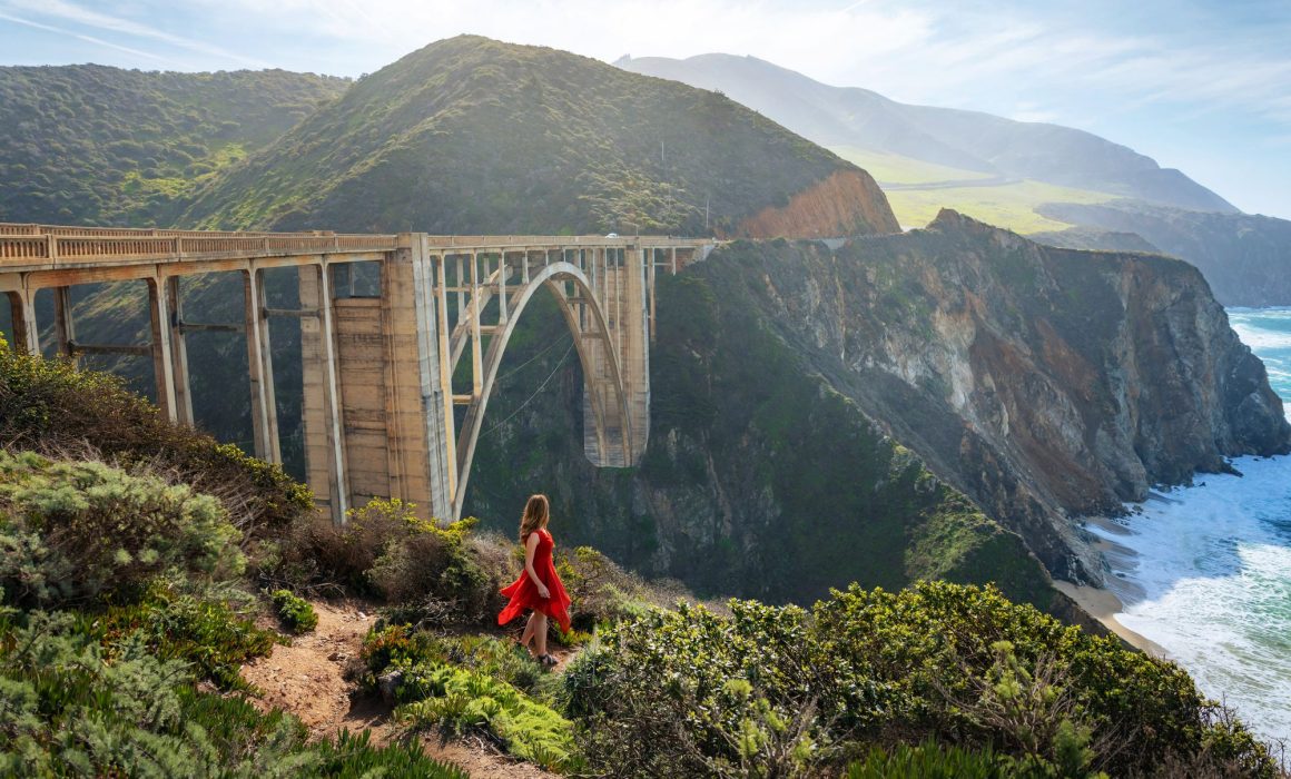
It’s impossible to miss this iconic bridge when going through Big Sur. It stands over 260 feet over an engorged canyon and has a monumental arch that has stabilized the structure for nearly a century.
I’ve crossed this bridge over seven times in the past five years since I first came to California, and every time I reach it, I’m taken by the sheer beauty of the scenery around it.
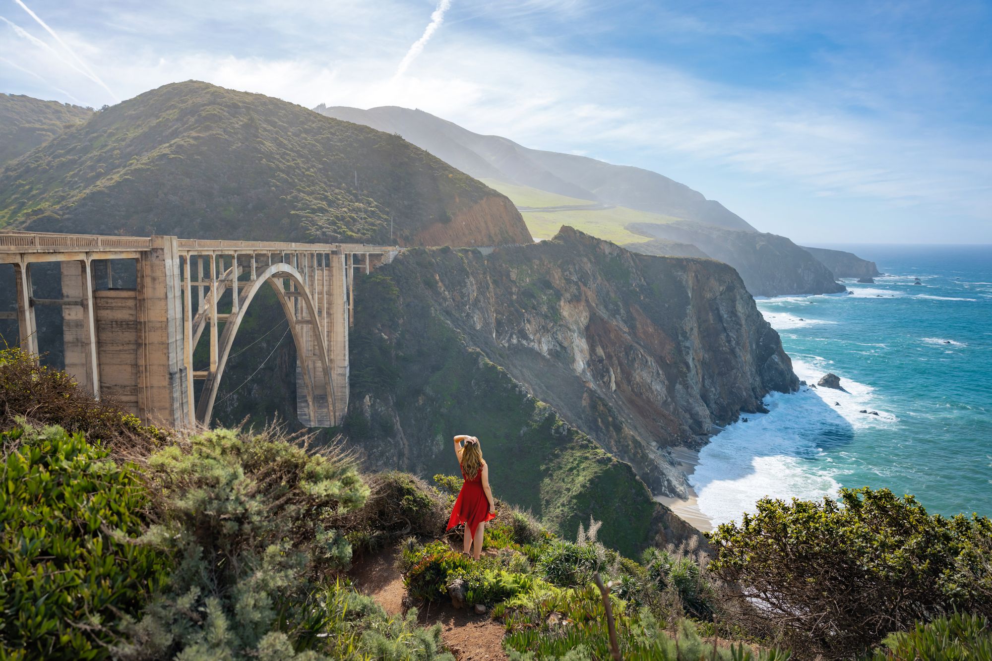
Bixby Bridge
It blends seamlessly into the rocky cliffsides and there are pathways where you can see just how towering it is over the gorge below. When the sun passes through the horizon, light seeps through the peaks across the bridge and shapes the scenery in a halo of light. When you see this bridge emerge from the horizon, you’ll know that you’re going to get something special for the rest of your ride.
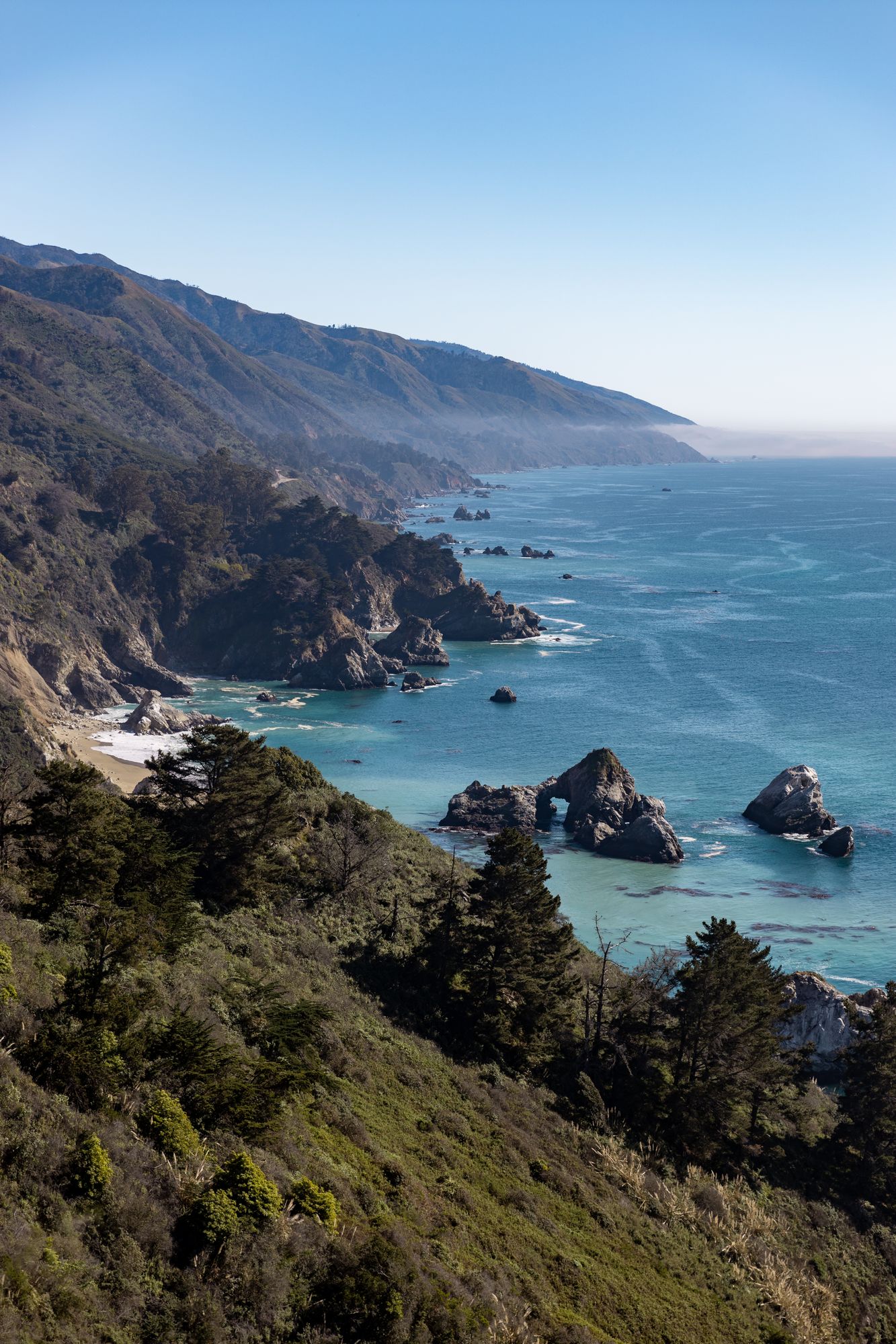
Pfeiffer State Park Lookout
The Julia Pfeiffer State Park lies inland next to the main highway of Big Sur. Here, you’ll be able to see some of the finest specimens of chaparral and redwood in California, nearly as gorgeous as the ones you would find in Yosemite or the Sequoia National Park. Its location near the cliffsides also offers great panoramic views of the ocean from the various lookouts in the area.
The park has a number of fantastic trails you can hike if you’d like to make the most out of your nature excursion. Here are some of the most notable ones out there that are open at the time of this writing:
- Partington Cove Trail: Stretching for 1.1 miles down the stream toward the shore, this moderately challenging trail leads to spectacular views of the sea from the Partington Cove it’s named after. It also goes through Partington Creek early on before splitting towards the beach.
- Big Sur River Gorge Trail: This 1.1-mile trail leads down along the river gorge and lets you walk through the clear creek waters. It’s a moderately challenging hike, and it gives you the chance to rest and listen to the trickling stream.
- Big Sur Nature Trail: Circling 0.8 miles around the Big Sur River, this is an easy trail that starts near a parking lot and can be hiked for around 16 minutes. There are a lot of beautiful angles of the trees and river, and it has the benefit of being near many of the park’s facilities, like the campfire center.
Keep in mind that the road a mile from Kirk Creek and Dolan Point is currently closed for repair. You should be able to reach this scenic location around 37 miles south of Carmel, and if you come just in time, you’ll also be able to view the best sunsets from the nearby Pfeiffer Beach.
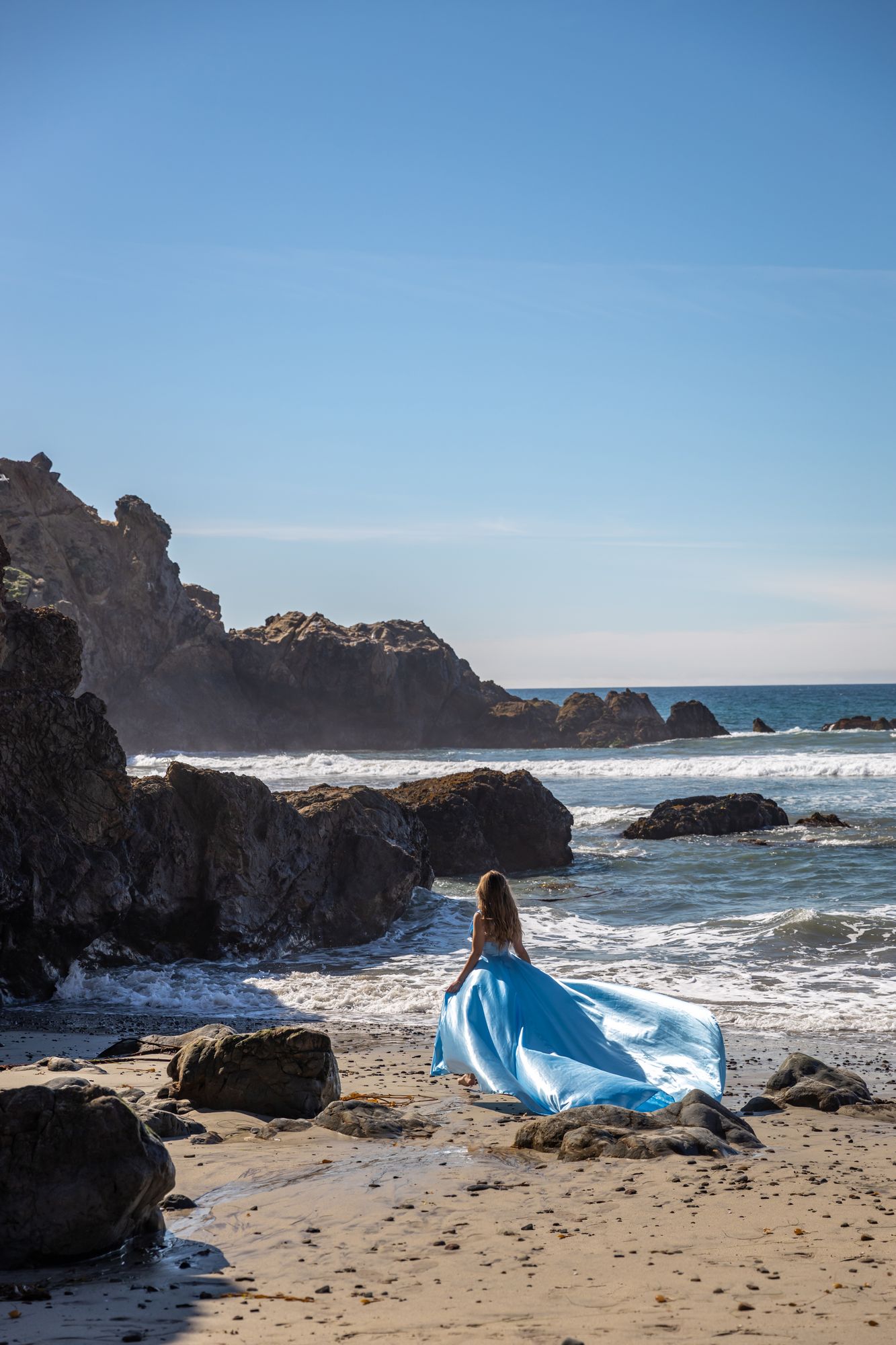
Walking along Pfeiffer Beach
If you’re planning your trip soon, be sure to check for further updates at the federal Forest Service website.
Passing by the Pfeiffer State Park along your journey down the highway, and tucked a little to the west down the Sycamore Canyon road and past some small streams is the beautiful Pfeiffer Beach.
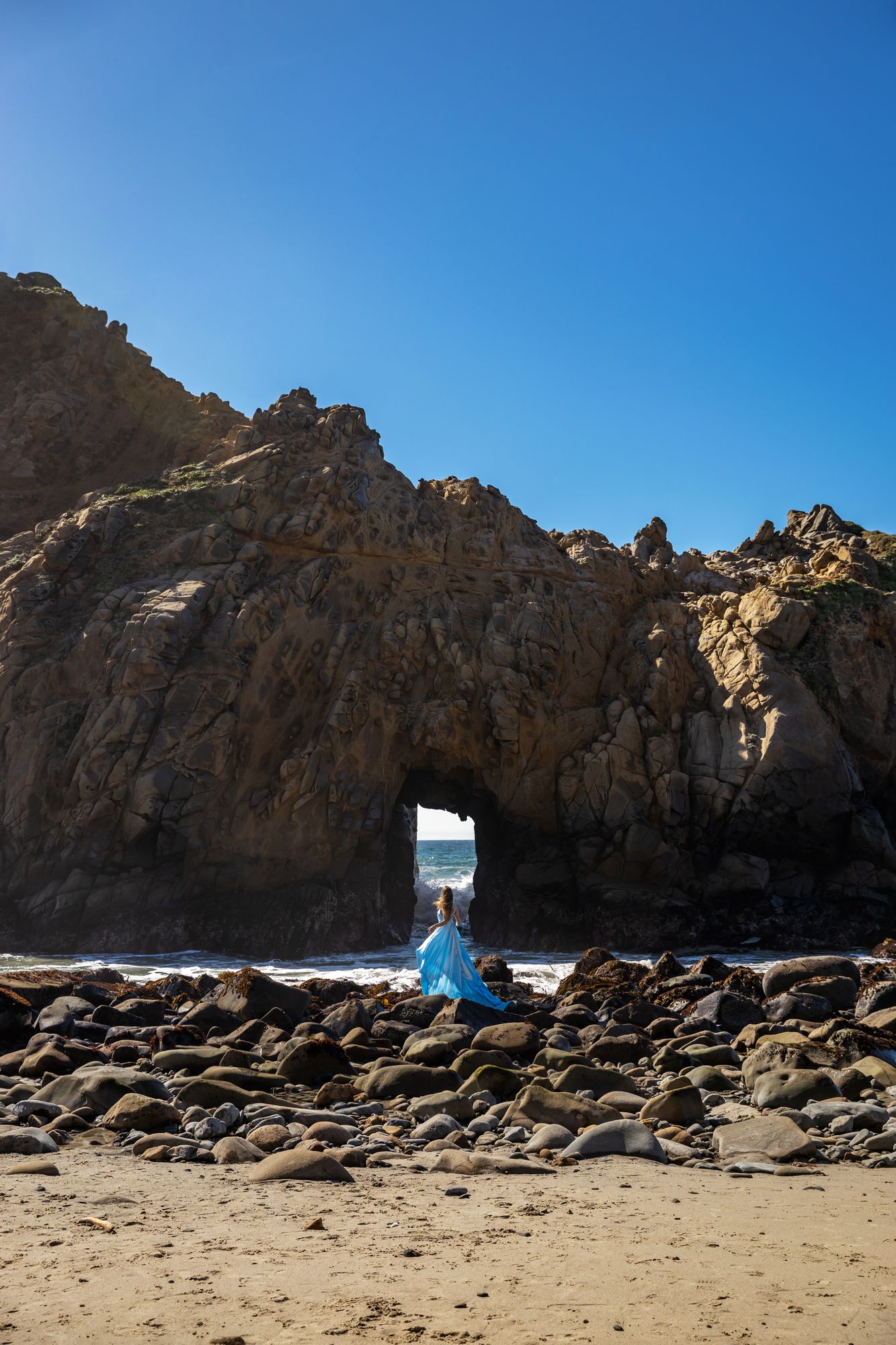
Pfeiffer Beach, looking over the Keyhole Arch
This beach is one of the few in the world that has purple sand that glows in the sunset. The hills surrounding the area send garnet grains down the shore, coloring the ground. Even the wildflowers grow in shades of magenta!
The most famous attraction of this beach is the Keyhole Arch. You’ll find this unique rock formation as soon as the beach comes into view, and it’s hard to miss the most curious part of this structure: it has an almost perfectly square hole at the center, similar to a keyhole.
During sundown, orange light glows through this keyhole and casts a magical light down the shore. The view looks like it came straight out of a movie. I came to the Keyhole sometime in the morning, so I wasn’t able to witness it this time, but I’m looking forward to my next visit down this beach to see it with my own eyes.
Hidden under a dense canopy of trees, the Henry Miller Memorial Library is dedicated to underrated classic author Henry Miller and contains his eclectic archive of books and text material. This eccentric little library feels like it comes straight out of the pages of a book, with a constant hum of old music and a rotating series of events including art shows and live readings.
It’s a quaint little space that feels like a paradise of inspiration for creatives. The book collection especially has a diverse range of thoughts and authors to read through. This timeless location almost encourages you to kick your feet up, pick up a book, and spend the day reading with the sound of nature chirping outside the wooden halls.
Mind your step and don’t leave the Pfeiffer State Park just yet! One of the most majestic sights in Big Sur awaits you at McWay Falls, a massive 80-foot-tall waterfall that pours down directly onto the nearby shores.
You can take a 0.5-mile round trip to view the waterfall from a distant cliff, and it makes the trip all the more worth it for the serene shots of such a rare tidefall. The shoreline surrounding it is also gorgeous, with emerald waters licking the golden beach and even caressing the rough, sandstone cliffsides.
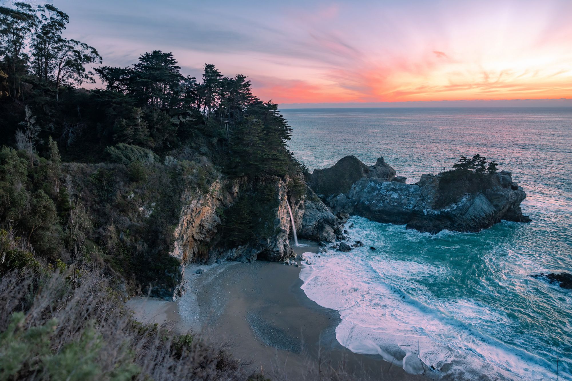
McWay Falls at sunset
Due to recent road closures, if you’re planning on taking your trip around this time, you’ll likely want to turn around here. While you’re heading back, you might still be able to catch one last wonder of Big Sur!
Above the Clouds (Ragged Point to Gorda)
If you’re lucky enough to visit Big Sur in just the right weather conditions, you’ll be able to catch a cloud inversion all across the coastline. It’s most commonly found along the road from Ragged Point to Gorda since the weather here is usually right, but it can even happen in Bixby Bridge or other parts of the road under the same conditions.
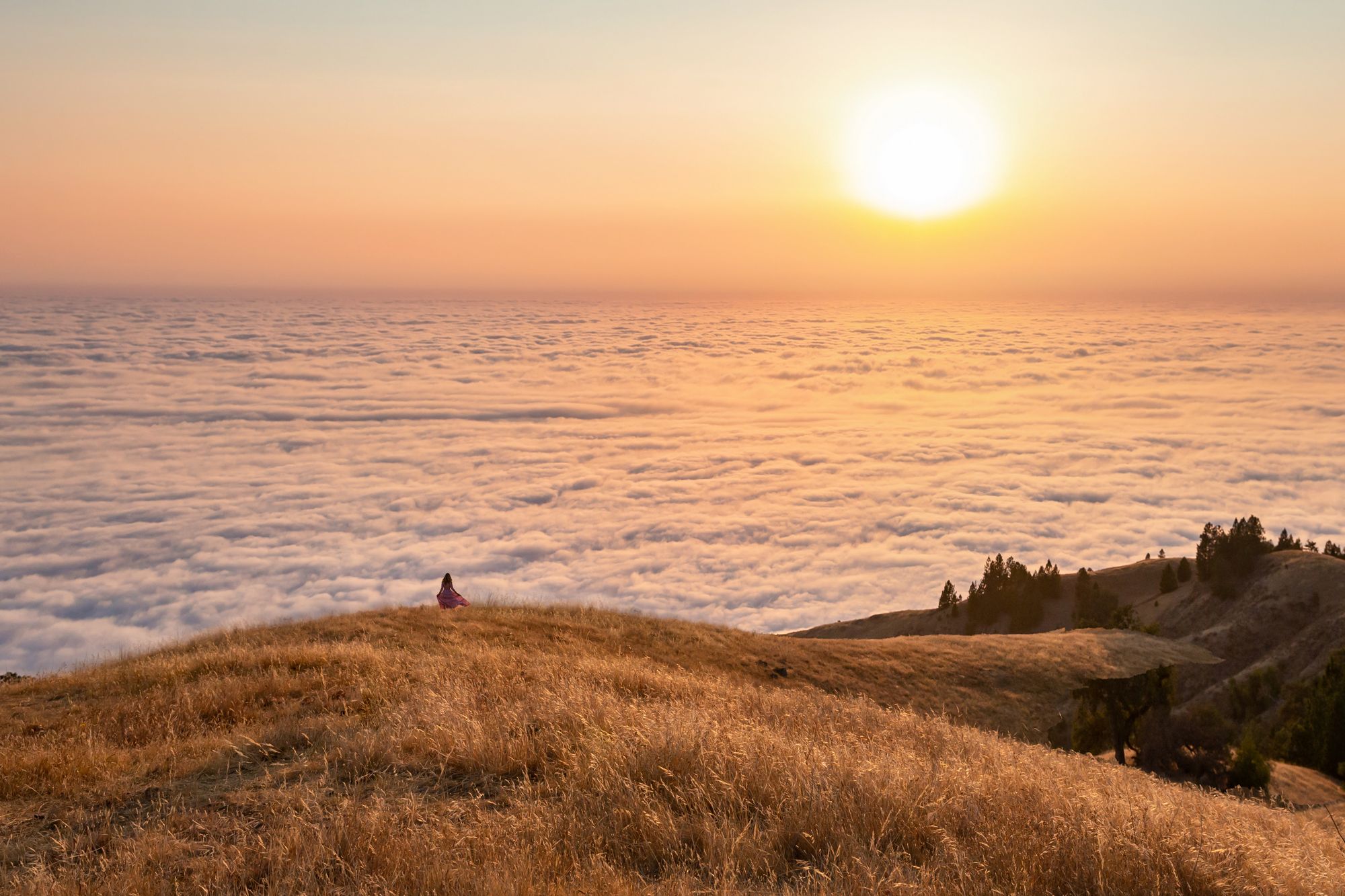
View above the clouds
It only appears during cloudy or partly cloudy weather, but when the time is right, cloud-like mist formations will form below the cliffside or hills. Since Ragged Point to Gorda may still be closed off at this time, you’ll either have to drive from the south to see this particular point or wait for the right weather in other parts of Big Sur.
It’s fairly easy to catch those weather conditions, thankfully, and I’ve always greeted this ephemeral view during most of my visits to Big Sur. For further reference, note that I’ve seen these clouds in February, July, and August, so it doesn’t necessarily matter what season you come to see them.
Salmon Creek Falls
These waterfalls are quite close to Central California, so you may not even need to go through the Pacific Coast Highway to greet them. However, if you are going on your Big Sur road trip, make sure to visit this little piece of heaven 30 minutes north of Cambria.
You’ll want to hike up to this spot through the Salmon Creek Trailhead, then choose between two different paths: the short 0.3-mile hike to Salmon Creek Falls, and the 7.2-mile hike to Spruce and Estrella Camps.
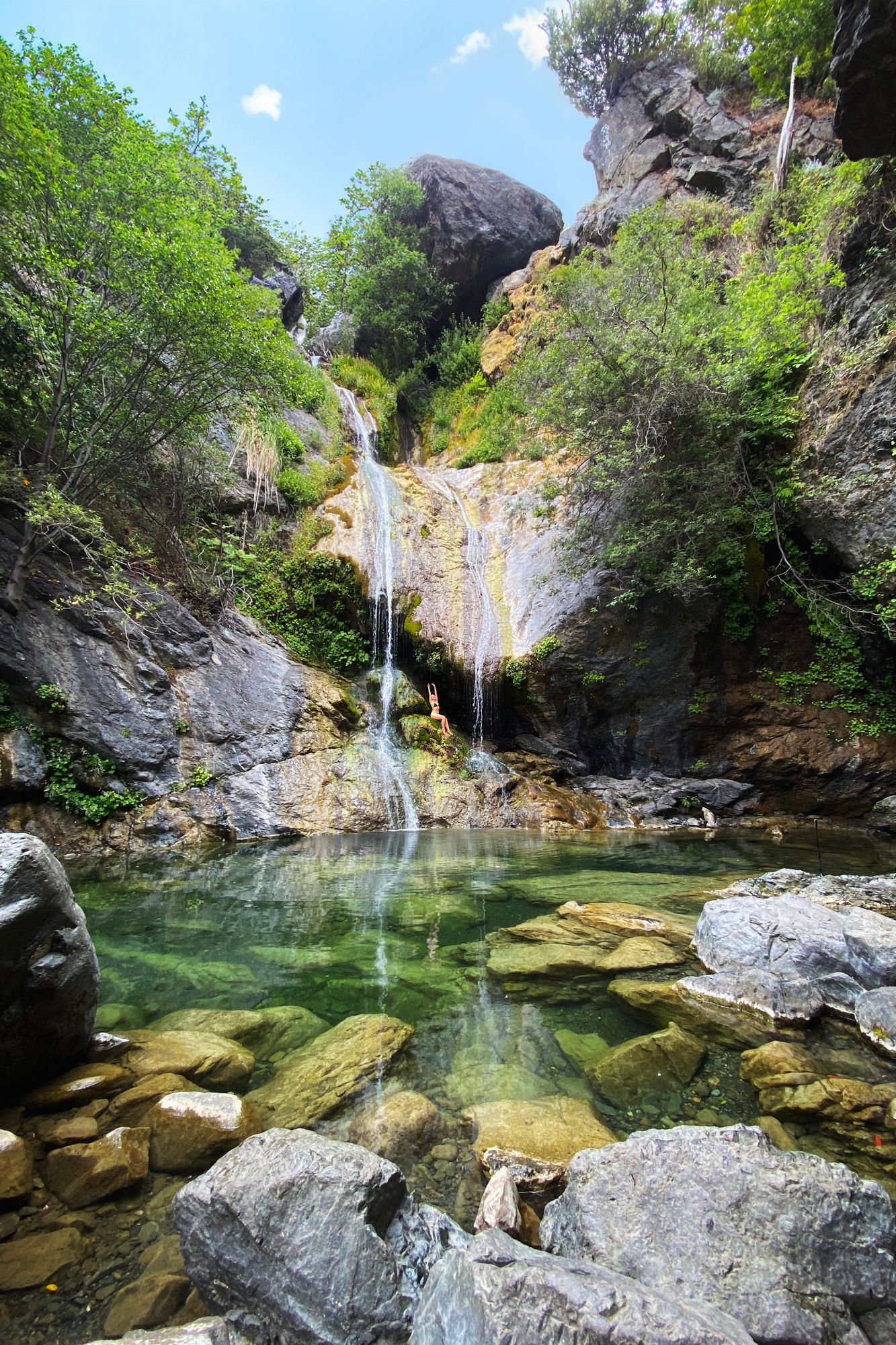
Salmon Creek Falls
The waterfall runs over a fascinating rock structure with narrow gaps in between, then pools down to an emerald basin. The pool water is cold and refreshing, and you can even walk up to rest below the pouring stream.
It’s a majestic, healing place that I quite literally couldn’t get enough of when I first went there. My partner and I planned to take the longer 7.2-mile hike up to the camps, but after a bit of a detour, we ended up spending the entire day swimming in the waters. I’ll have to hike up the other path some other time, but I couldn’t recommend the waterfall enough!
Where to stay and eat
Hotels
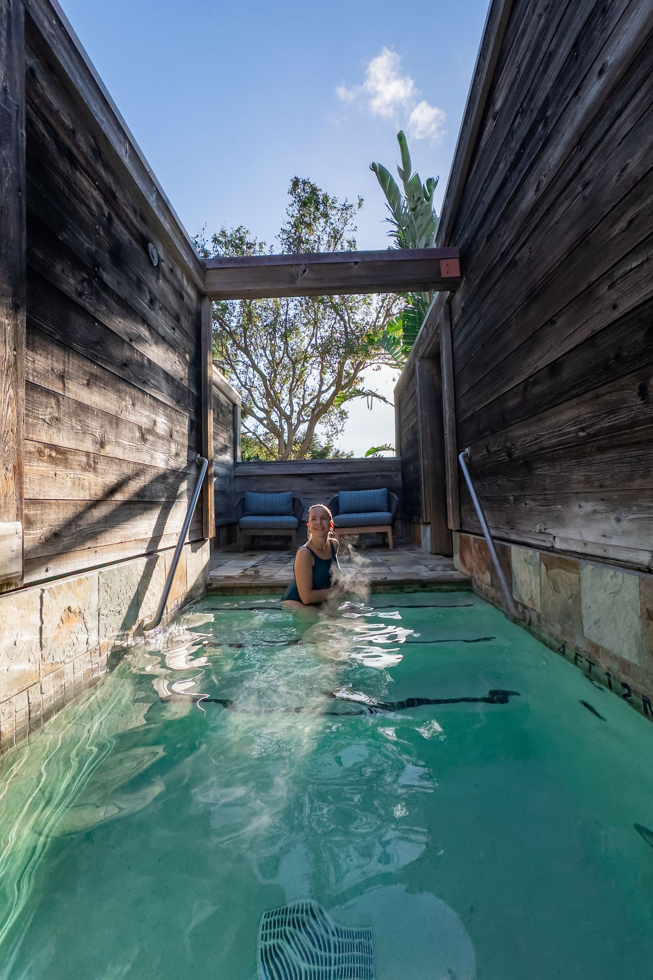
Alila Ventana’s Japanese bath
By far the most beautiful accommodation you can find in Big Sur, Alila Ventana can be found further south of the highway from the Pfeiffer National State Park. It’s a gigantic resort that stretches over 160 acres around rustic terrain and the gentle Post Creek stream. It has gorgeous rooms with warm interiors and modern furnishing, full amenities, and a classic dining balcony with a scenic view of the coastline.
What makes this place special to me are the spas and pools they provide. The resort has a refreshing Japanese bath, an infinity pool, a sauna, and so much more. I managed to get access to these amenities from Resort Pass for around $250, and it ended up being a brilliant way to pass the day before continuing my journey down Big Sur. You can also book a night’s stay here!
The Post Ranch Inn has various branches of homes and amenities within its property, including the Post House, the Cliff House, and the Sierra Mar restaurant. It’s a luxurious space with beautiful angles of the rugged terrain, rocky cliffside, and nearby sea. Being built on an old ranch, this property also has the added benefit of being quite close to wildlife–perfect for a nature getaway!
The Big Sur Lodge makes a great resting place for hikers and travelers exploring the wilderness of the Pfeiffer State Park. It has various rooms with comfortably rustic decor with fireplaces and kitchen utilities. This affordable lodge also offers an outdoor swimming pool and a dining hall called the Homestead Restaurant with delicious food from California.
Restaurants
Coast Cafe (UPDATE: as of the beginning of 2025, Coast Cafe is permanently closed).
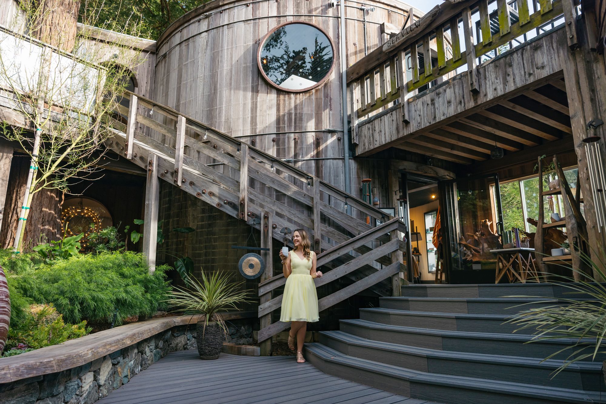
Coast Cafe
This historic cafe is built on the remnants of a refuge for artists and writers after World War 2. An artistic sensibility and dedication to craft inspired the unique, rounded architecture both on the outside and within. You can find the Coast Cafe near Pfeiffer Beach and McWay Falls, so I think it’s a must-stop if you’re heading to those areas later on your journey.
The food here follows the Californian spirit of being local, sustainable, and delicious, and it’s accompanied by breathtaking views of the ocean through circular windows or rustic fences. The cafe also has a spiral staircase leading up to its rooftop deck. You can admire the beauty of Big Sur all while enjoying a sumptuous meal.
I heard that the cafe was sold and closed, but I’m still hoping that it will reopen at some point in one form or another.
Near the Henry Miller Memorial Library and the Alila Ventana, this restaurant is a popular spot for hikers and campers around the area. It has beautiful views of the mountains and filling food for active trekkers to prepare them for their journey ahead.
In my five years of traveling California, Big Sur has been one of my favorite destinations to revisit alongside Lake Tahoe and Mammoth Lakes. There’s something so alluring about the diversity of sights you get to see along the journey–whether it’s the old charm of Carmel-by-the-Sea, the majesty of the waterfalls, the warmth of the beaches, or the otherworldly experience of standing above the clouds.
Road trips are reminders that life is something to be taken slowly and carefully, as all the different wonders pass outside your car window. You can rush through your journey, but the most memorable experiences are made by riding down the coast and enjoying the views.
Are you looking for more California travel inspiration?
Check out The 10 Most Amazing Things to See and Do in Lake Tahoe
Do you love exploring California? I created an interactive map just for you!
Check out my California Travel Map with over 500 pins of the best spots and hidden gems for California Travel!

Pingback: Big Sur Road Trip: The Ultimate Itinerary for Scenic Views - Travel fast now