The Best Hiking Trails in Sequoia National Park
Last Updated on April 19, 2024
Stretching over four hundred thousand acres across the southern part of Sierra Nevada, the Sequoia National Park holds the tallest trees on Earth. These dense forests tower over the horizon, making everything around them look tiny and almost unreal. Though you’ve probably heard of General Sherman and all of the giants in the park, you may not know about the most breathtaking hiking trails you can walk down in the area.
Hiking has always been one of my favorite hobbies while traveling. Even if I weren’t already fond of it, I believe this park would change my mind. Even when the trails can be challenging, the breathtaking views along the way make for a life-changing journey. So, come and hike with me through some of the best hiking trails in Sequoia National Park – by the way, this is my favorite park in California!
Best Hiking Trails in Sequoia National Park
Giant Forest Area
The Giant Forest area surrounds General Sherman, the largest tree in the world by volume, though it also includes massive clusters of sequoias all around the park. Most crowds will gather around this area, and thus it has developed a lot of well-worn hiking trails over time. All of them are fantastic places to begin your exploration of the park, so here are just three of the best ones to start with.
General Sherman Tree
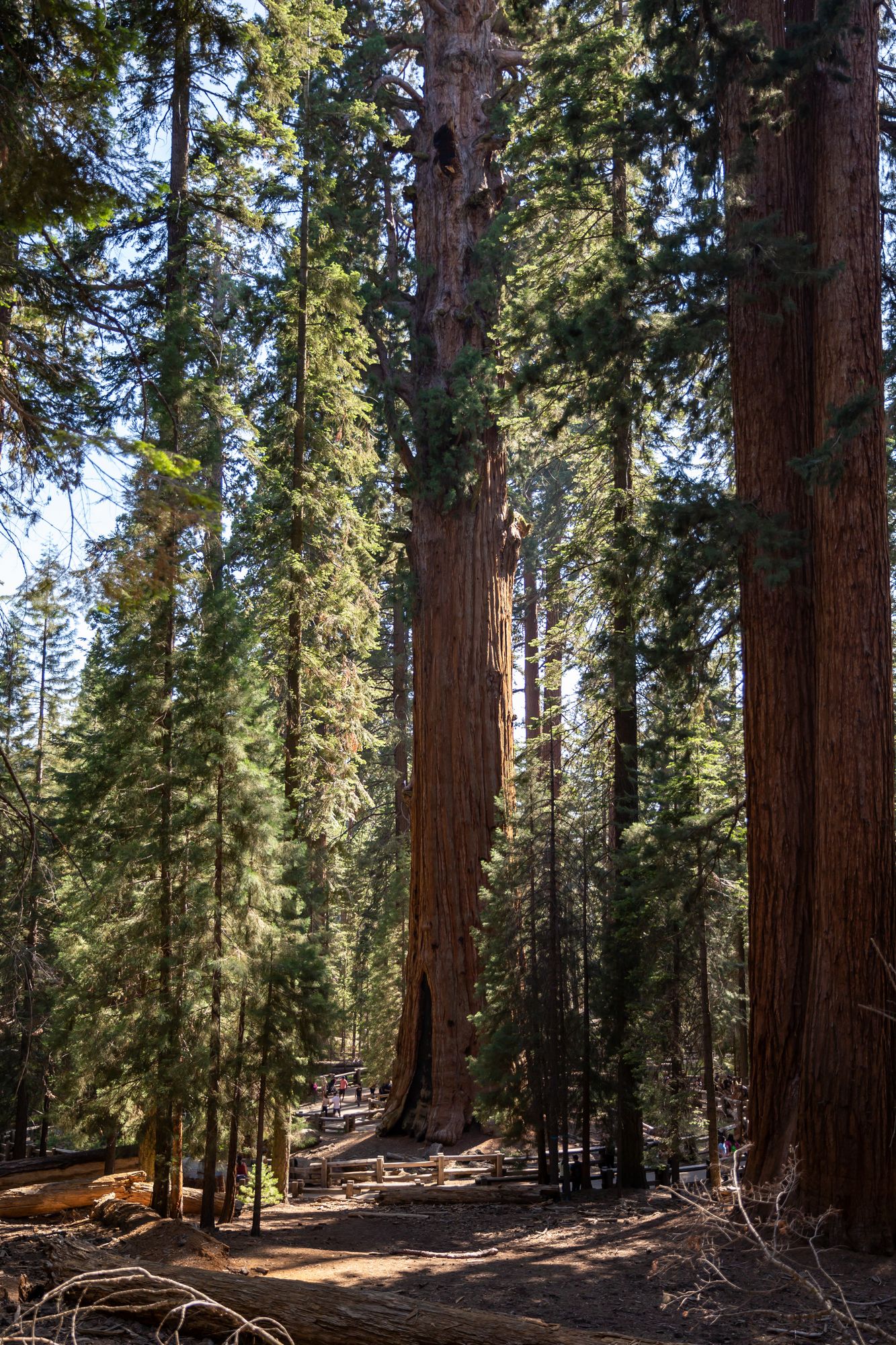
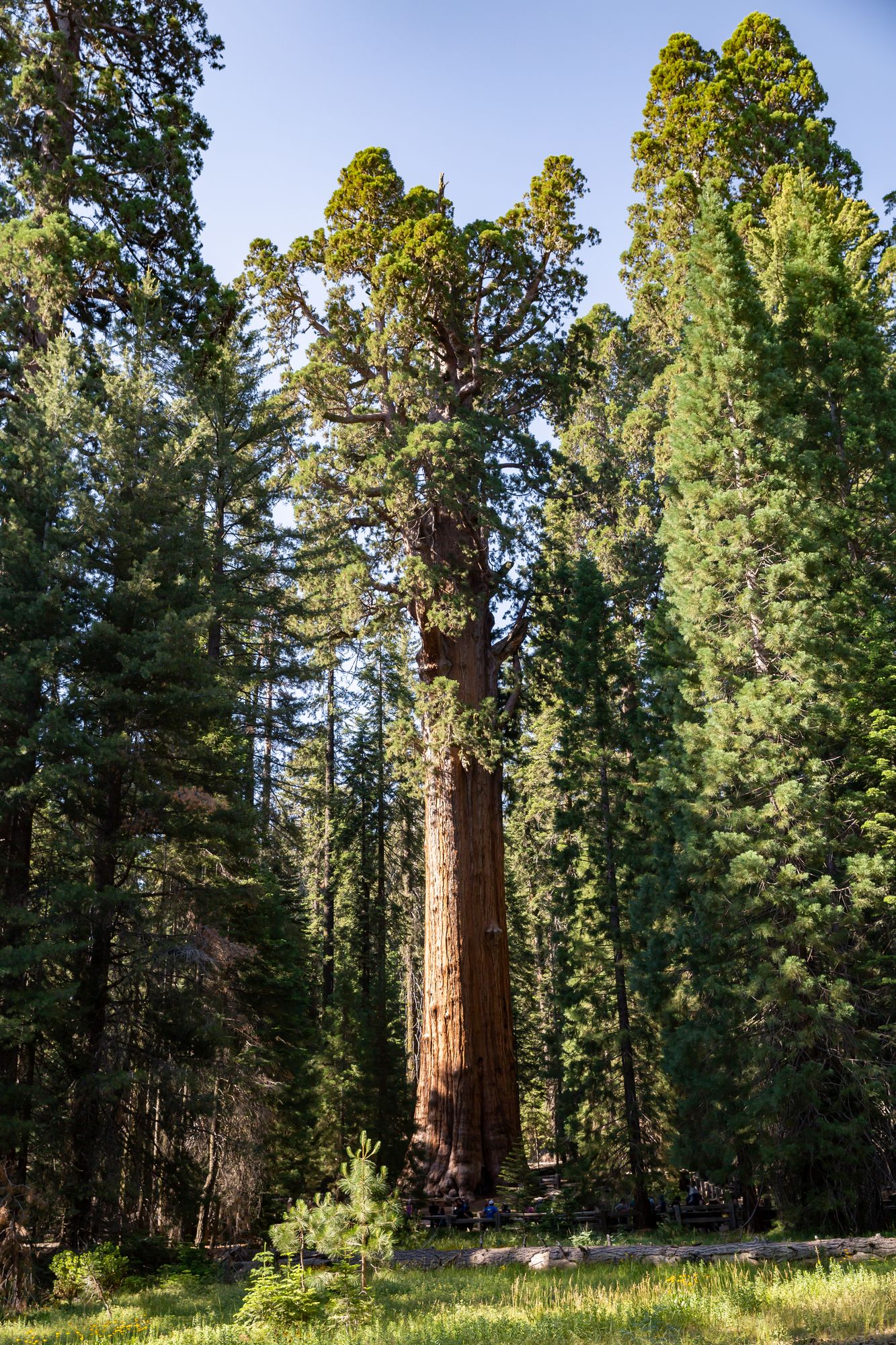
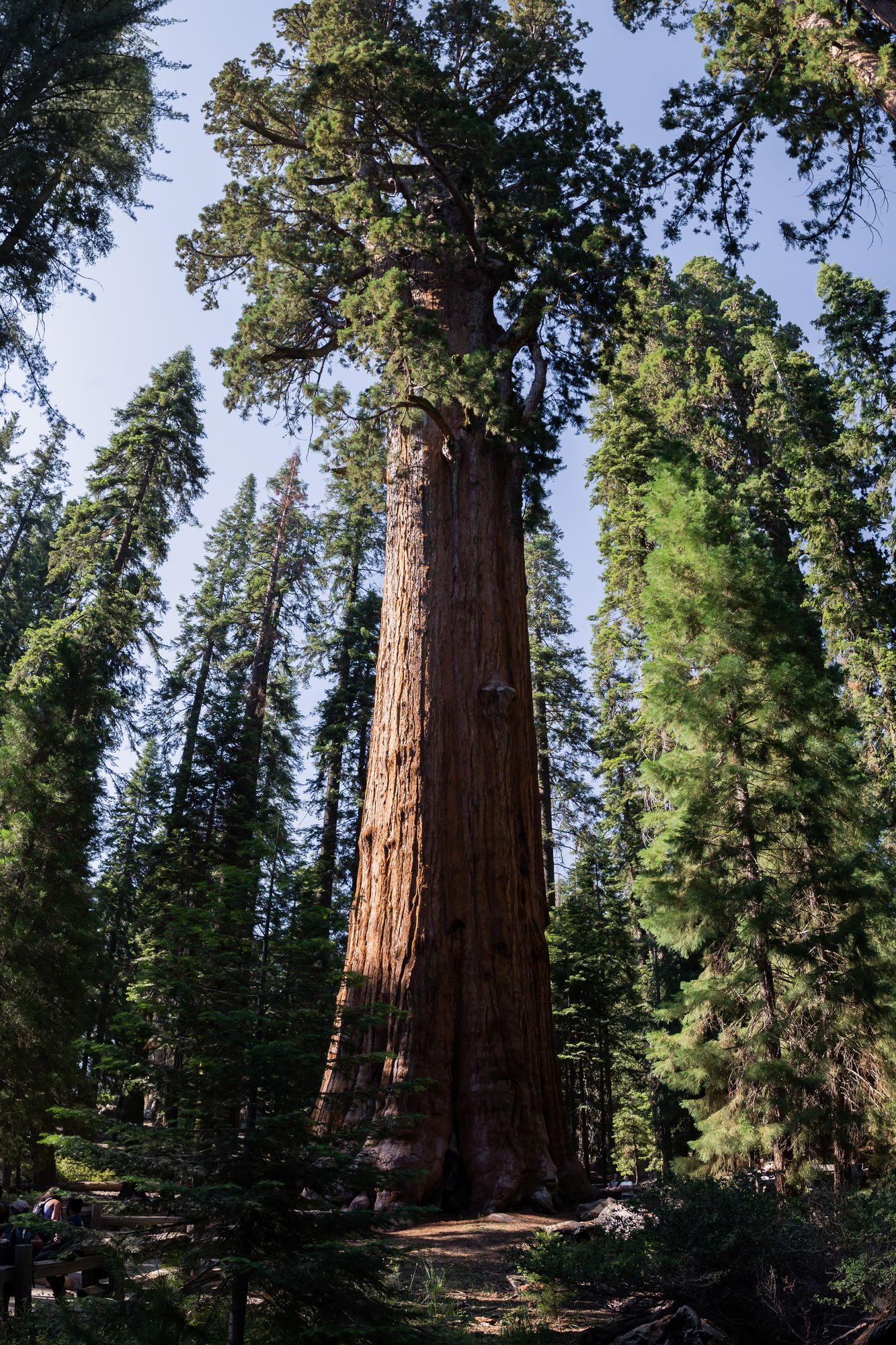
This is likely the trail that you’ll start on when you’re entering the Giant Forest area. You can find your way down the trail from the parking area–from there, it’s a short 1.2-mile hike down a paved road toward the General Sherman Tree.
Hundreds of sequoia trees will accompany you along the way, and you’ll probably be joined by large crowds later in the afternoon. It ends by going around the General Sherman Tree, and from here, you’ll get a sense of just how big the towering bark is. It’s quite an awe-inspiring experience!
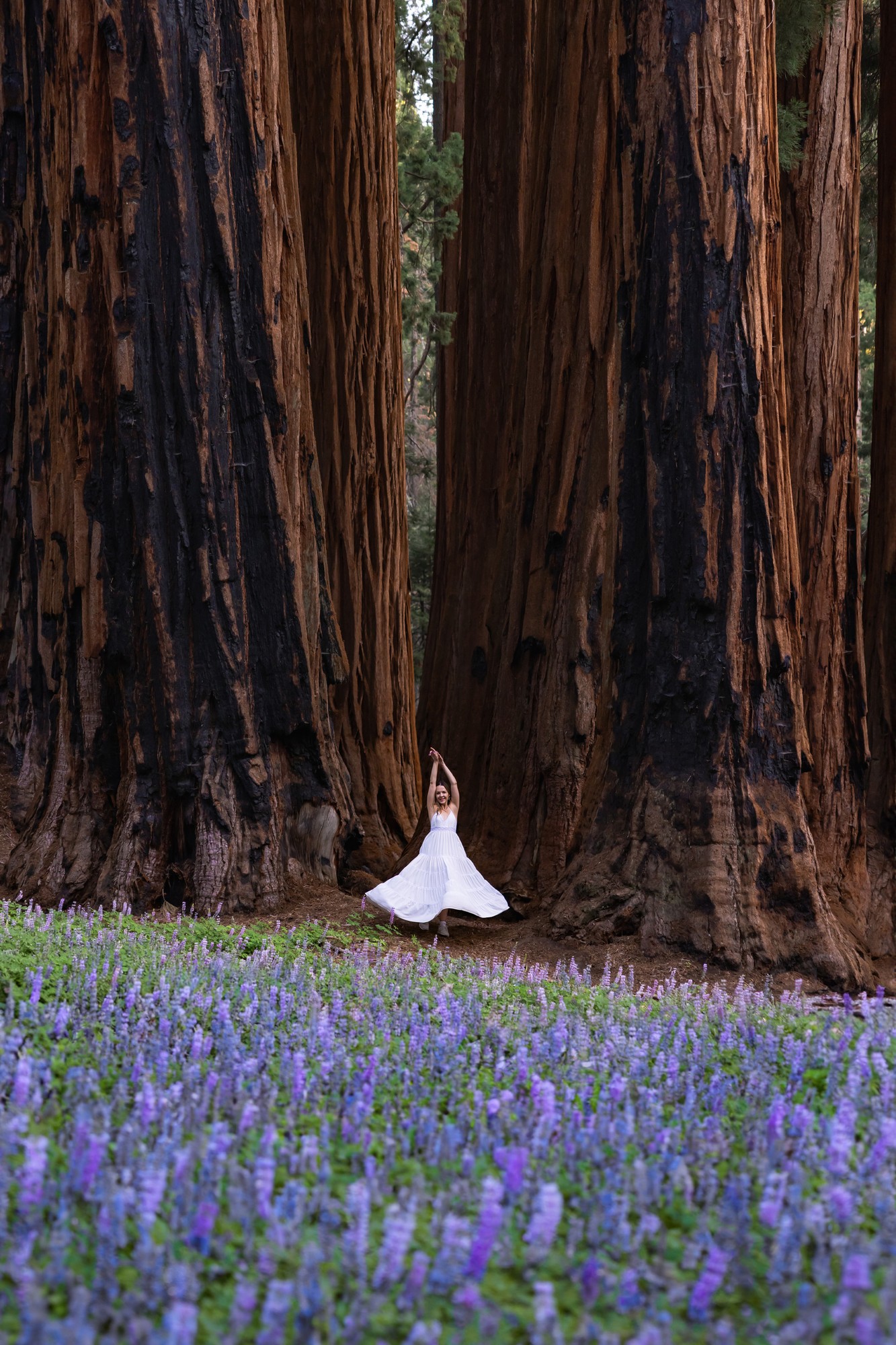
Dancing with the lupines on the Congress Trail
Once you leave the General Sherman Tree Trail, you can immediately hop onto Congress Trail!
This popular trail starts at General Sherman and circles the sequoia groves surrounding it. It’s an easy 2.7-mile loop on a carefully crafted trail. What makes this trail famous are the mature sequoias along the path, but in summer there are also gorgeous flowers, bushes, and wildlife hidden beneath the shades of the giants.
The Congress Trail itself is named after the spectacular sequoias put in groups called the House and the Senate, all congregating around the President, the oldest sequoia known to man. Many of the surrounding sequoias are also named after U.S. Presidents, like Lincoln, Franklin, and Adams. Walking along this trail feels like you’re traveling along a visual representation of the American dream–towering, grand, and as rare as it is beautiful.
I came to this gorgeous trail with my friend on the first of August, and I was amazed by how fresh and rejuvenated the grove looked in the middle of summer. As we strolled through the dense tree clusters, we found a field of blooming lavender lupines, and countless other wildflowers along the way. It’s a scenic hike that perfectly captures the calm and reflective essence of the whole park.
Another trail you can take around this area is the rustic Big Trees Trail. It’s only 1.2 miles long and is partly paved and partly built on wooden boardwalks that creak as you step through the forest. The shade of the giants falls particularly well on this trail, and it makes for a great place to rest on a bench and absorb your majestic surroundings.
Much of this path is also riddled with interesting facts about the sequoias, their origins, and their cultural significance to the region. If these catch your eye and you’re interested in learning more, the Giant Forest Museum is also within walking distance of this trail!
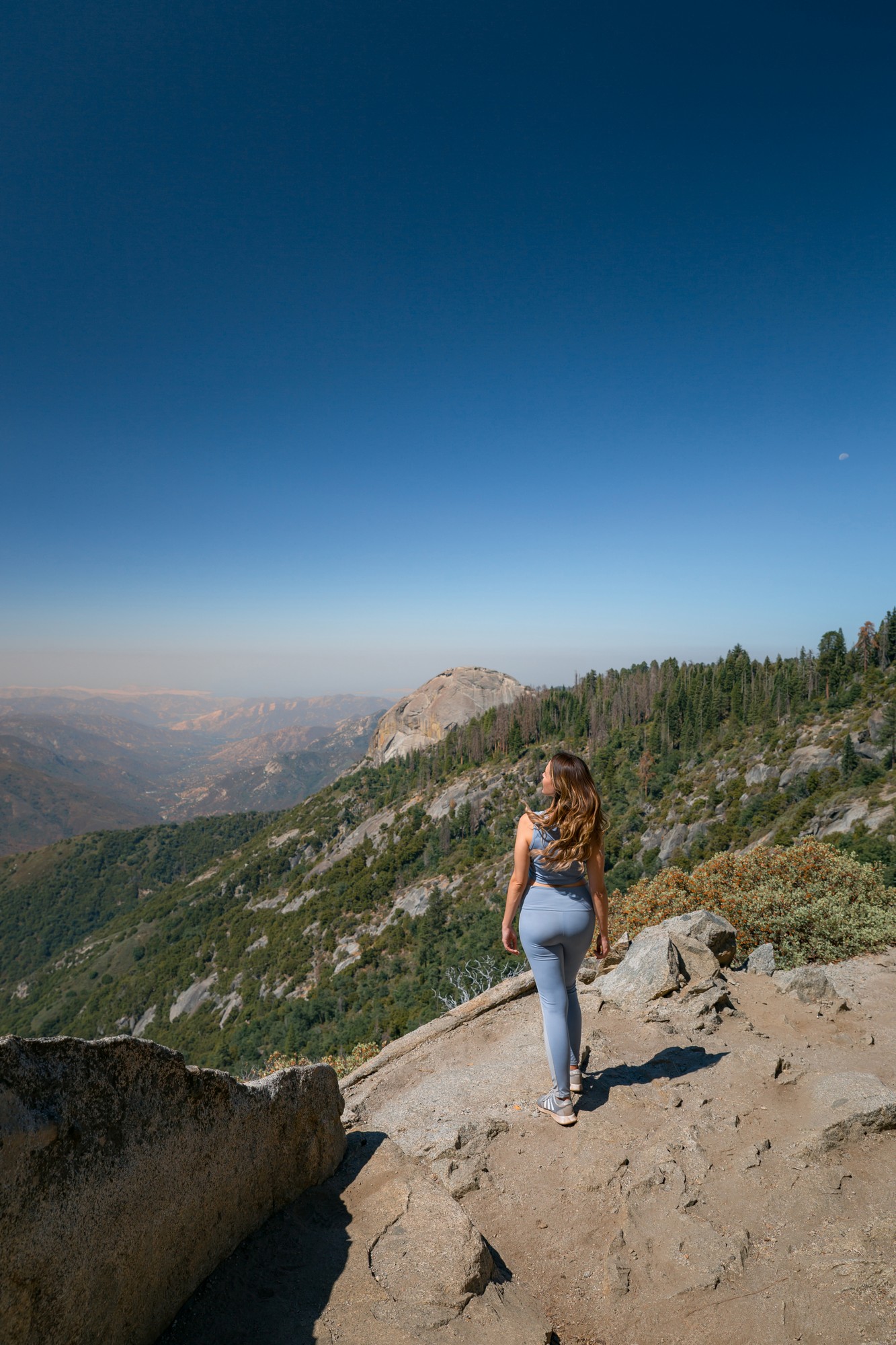
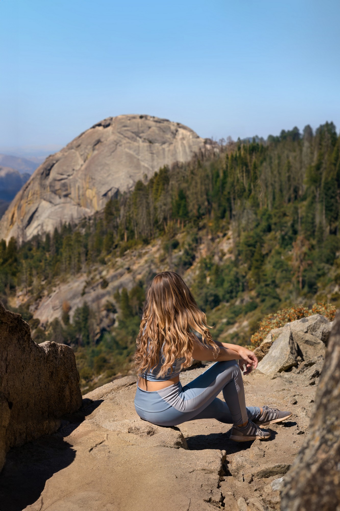
It’s difficult to miss the gigantic Moro Rock structure standing over the west end of the park. If you’re willing to drive up and take a short hike up the park, you can climb the peak of the rock structure and look down at the park from its highest elevation point.
The hike up to Moro Rock from the parking area is relatively short and easy, being only 0.5 miles long, but its elevation can take quite a bit out of you, so make sure to take short breaks on your climb. There are over 350 stone steps leading up to the peak, and it is carefully guarded with metal railings.
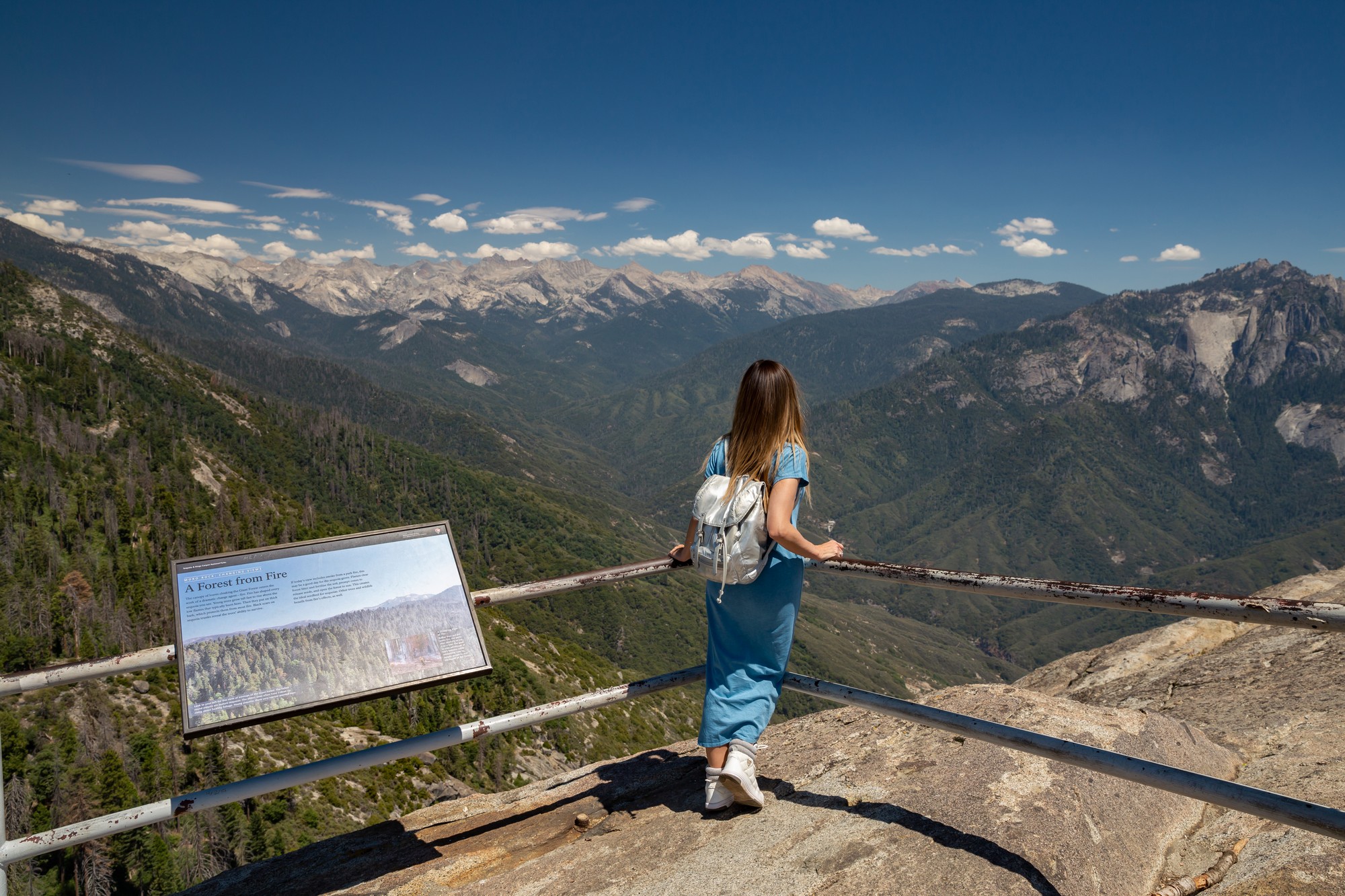
Looking beyond the railings from Moro Rock
Reaching the top, you’ll find an insane panoramic view of the park, high enough that it feels like you can touch the clouds!
It’s a popular spot, so be sure to come early in the morning to get the best pictures. The road to this iconic landscape also gets locked off during the winter, so check your calendars before heading out to this space.
This trail is south of the General Sherman Tree and near Moro Rock, and it’s a calm stroll around the most calming meadow the park has to offer. It’s an easy, accessible 1.5-mile loop that wanders around the Crescent Meadow. It will normally be closed during the spring and winter due to flooding and snow concerns, so keep that in mind when visiting this trail.
While you can still admire the sequoias from this trail, the major attraction of this path is the life brimming in the meadow. Native wildlife occasionally flocks to these tall grasslands and nibbles on some of the wildflowers in the spring. It’s a perfect place to take pictures, go bird-watching, or bask in the morning sun.
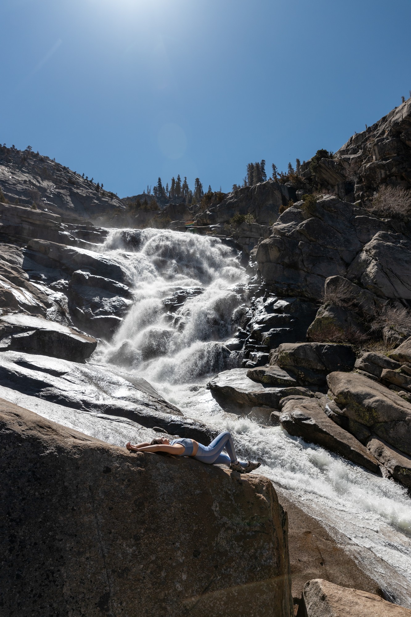
Tokopah Falls
The Tokopah Falls are one of those landmarks that make you want to drive three hours just to see it up close. It tumbles from over 1,200 feet straight to the bottom, and you’ll have the chance to approach the waters and feel it tickle your shoes and spray against your face. The way it runs down the smoothed rock fronts makes it seem more like mist clouds than water. It makes for a divine image to shoot on your camera.
The trail to this wonderful waterfall is just as beautiful! It’s a charming stroll through the canyon by the riverside, and you’ll get the chance to see wildflowers blooming around the pathways. It’s a 3.8-mile-long trail of moderate difficulty, and it’s a fun hike to enjoy the waters of Sequoia National Park.
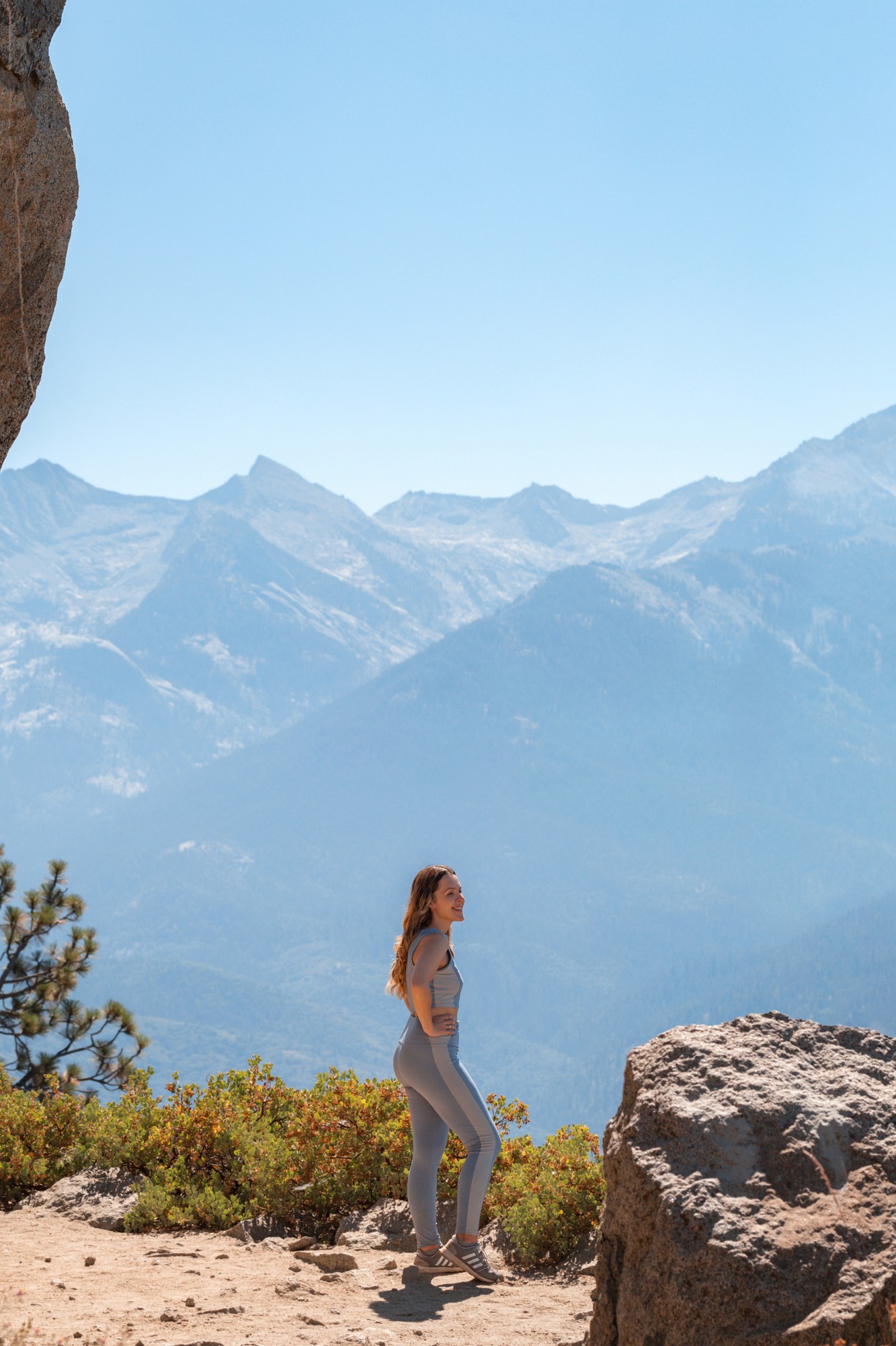
Eagle View
The High Sierra Trail is a long 65.1-mile winding path that goes up and down plateaus and canyons. It’s a challenging route that can take quite a while to complete, but luckily, you can follow the simpler route to Eagle View on the same path to get a once-in-a-lifetime experience.
Eagle View is a rough cliffside that overlooks the park from the eyes of an apex bird. Compared to the full length of the High Sierra Trail, it only takes 1.5 miles to reach this vantage point, though it has a moderately challenging elevation gain along the path. It’s not as crowded as other paths, and you get to witness wide views of the sequoias and rock formations in the far distance.
This trail was quite a challenge to complete for me, stretching over 14 miles north of General Sherman, but it was worth it. I don’t think there’s a single place on Earth where you can find snow and flowers on the same hill, the largest trees in the world, and over four lakes in just one trail hike. Over 3000 feet of elevation brought me to the most diverse views in the world, and it reminded me of all the wonders California has to offer to those willing to take up the journey.
You can choose to go through the Watchtower Trail and the Hump Trail to go down this route, but I chose the Watchtower Trail for the views and the thrill.
Watchtower
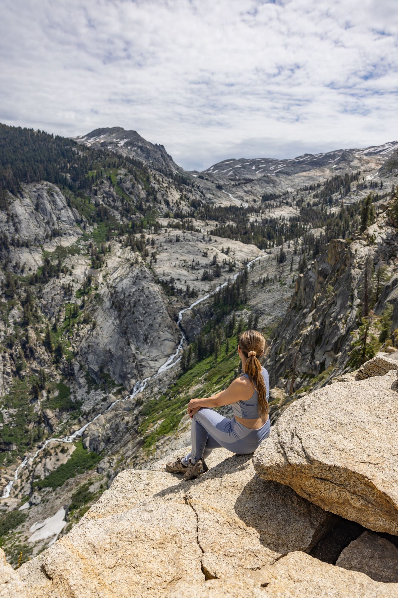
View of Tokopah Falls from Watchtower
The heights of the Watchtower let you view down the lakesides and the park’s gorges, which make for brilliant shots from a distance. I’d recommend bringing a camera with zoom lenses up here, but watch where you step while taking pictures!
Heather Lake
If you’re taking the Watchtower Trail, you’ll soon go down to Heather Lake, a quaint lake with waters for fishing and landscapes for various mountain activities. It’s a quiet resting point after the climb down from the heights, but if you want to make the most out of your journey, I recommend continuing at least to the next stop…
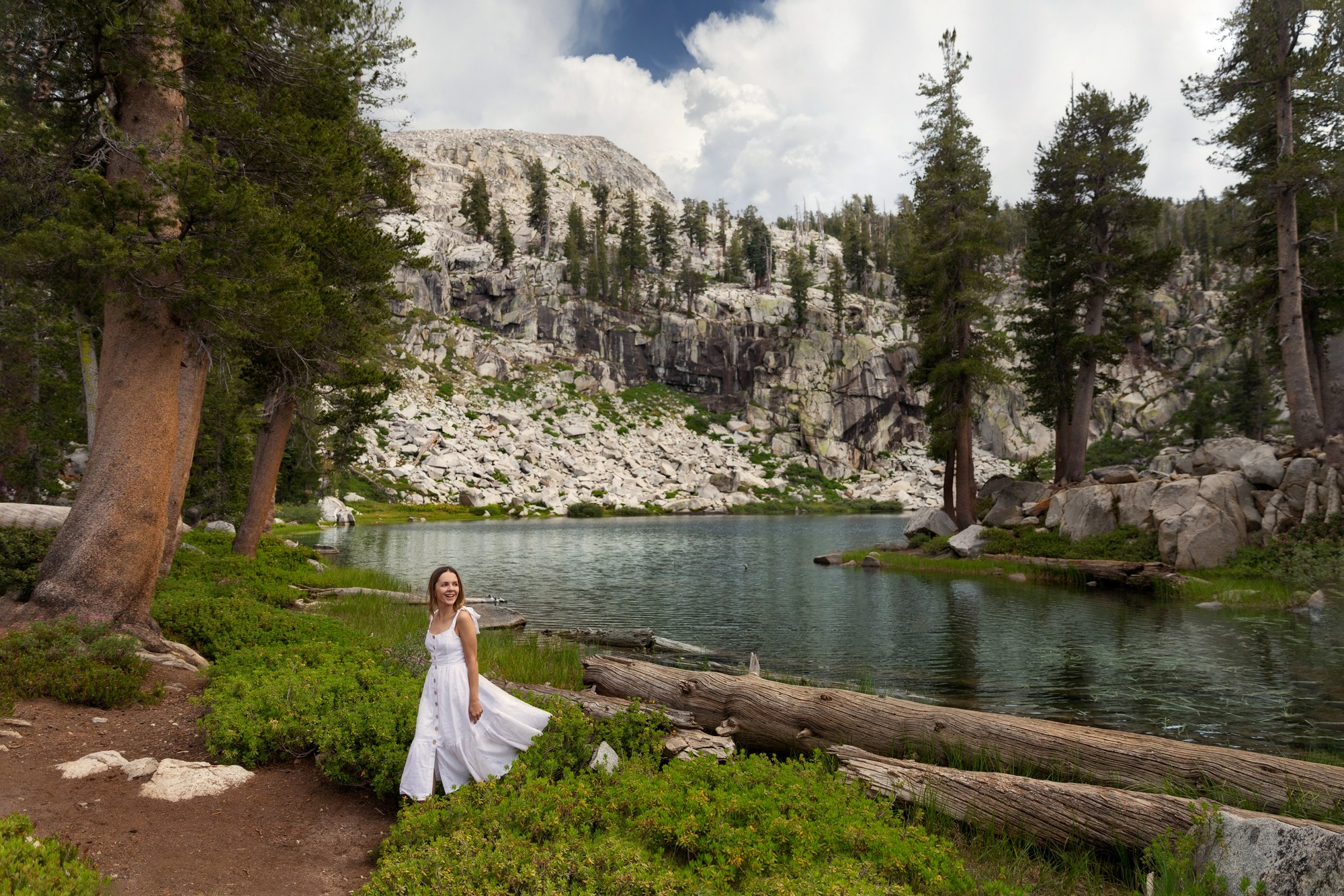
Standing along the Heather Lake
Aster Lake
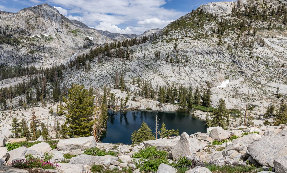
Aster Lake has my favorite views of the Lakes Trail. It rests alongside Emerald Lake, which is known for its crystal clear waters and shimmering waves, but Aster has the benefit of being framed by rocky coastlines and guarded by massive mountain formations. There are also several trees guarding the lake, building the impression of it as a small oasis along the trail.
The lake itself is a deep, surreal blue, with a surface that reflects everything around it in a mirror-like quality. You’ll get the chance to view it from afar on the trail, but you can also wander down to the lakeside and lie by the many boulders gathering at the banks. This is a great point to turn around if you’d like to save the full trail for another day.
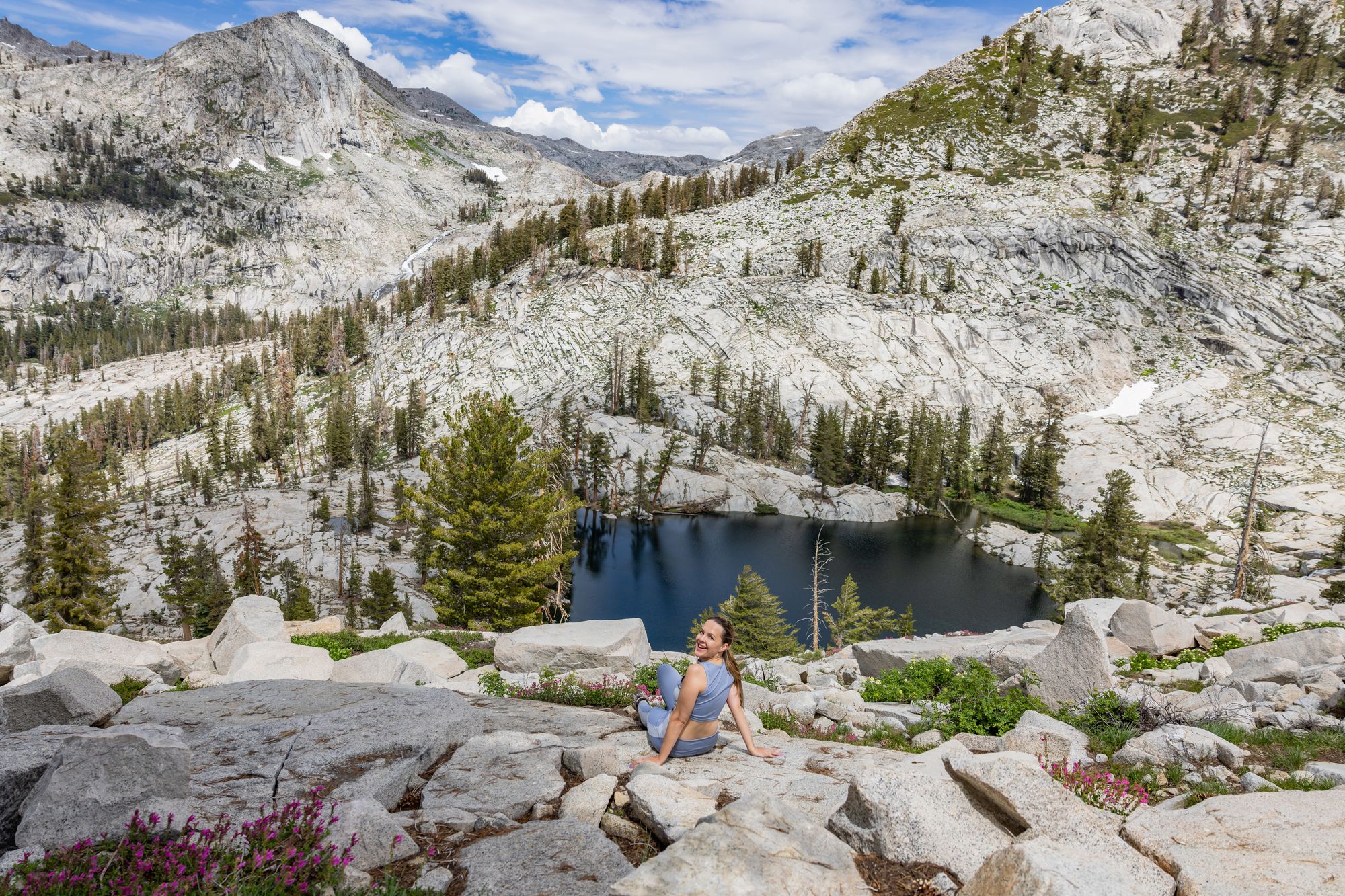
Aster Lake
Emerald Lake
Near Aster Lake is Emerald Lake, a lovely pool situated under the former glacier structures of the mountains. The jagged rocks leads melting snow to gather around this lake, and the scenery around it makes a great contrast to the calm surface of the water. This is also a great vantage point to look up at the mountain peaks of the surrounding area.
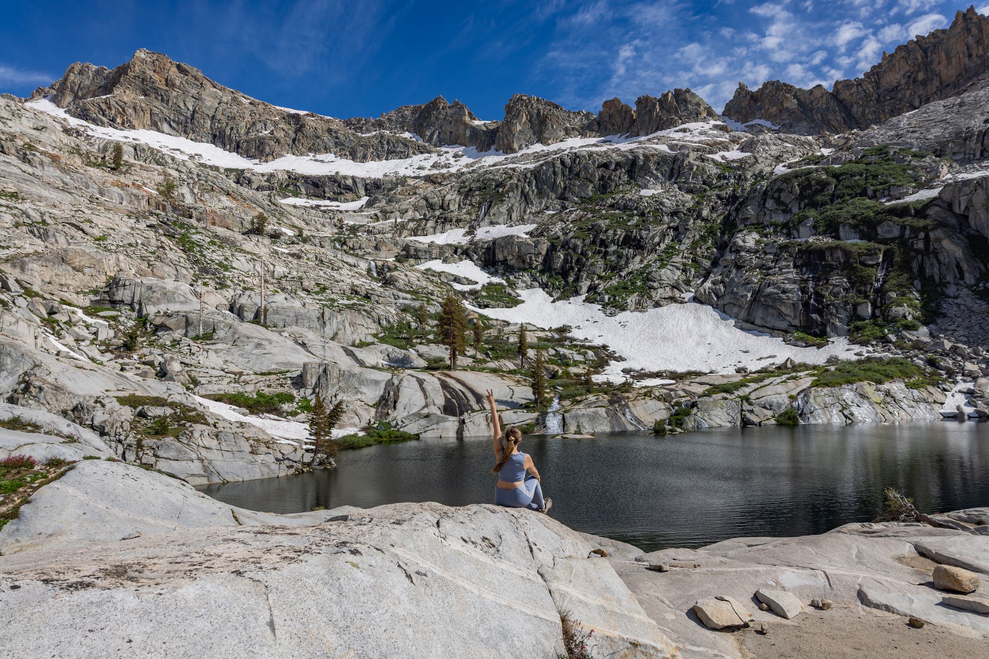
Emerald Lake
Pear Lake
Pear Lake might be the most relaxing view of the four lakes, which is good since it’s nearing the end of the long trek. It’s a modest lake with serene waters and a wonderful campsite nearby. You can find the camping grounds north of the lake at the foot of the mountains, but keep in mind that you’ll need a reservation to rest there.
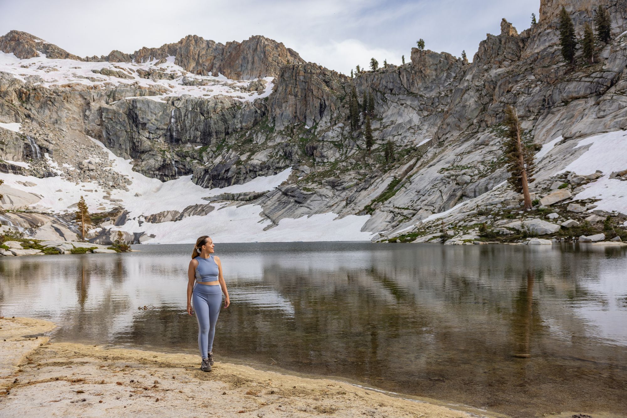
Pear Lake
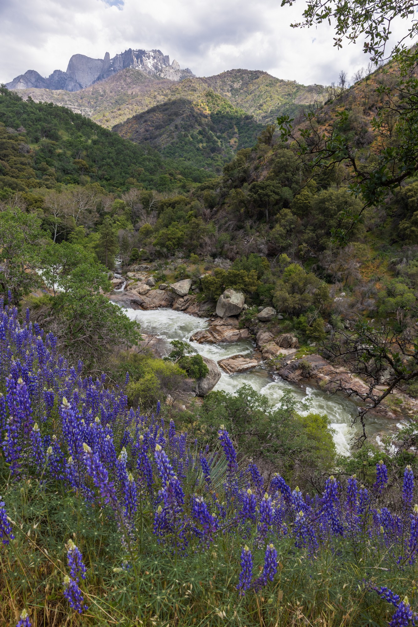
Lupines growing in the Foothills
The Foothills in the west ends of the park are where the cool air of the mountains comes down into a gentle breeze along the tracks. Wildflowers and plant life thrive in this region and all sorts of life gather to enjoy the cool streams that run through the earth. Interestingly, the grasslands of these fields were brought and grown by settlers, so you’ll find a diverse collection of trees and plant life sprouting in the foothills.
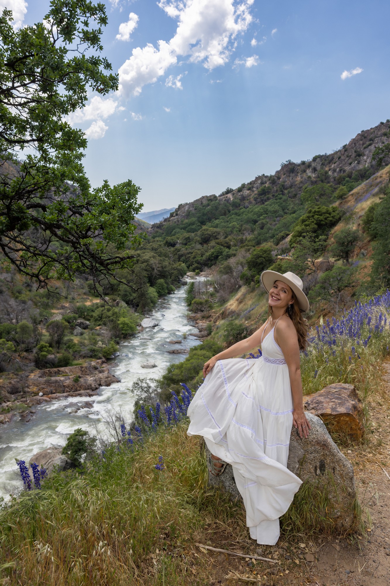
Sitting by a stream on the Foothills Trail
Many different trails scatter around the foothills, including Marble Falls, Middle Fork, Lady Bug, and Garfield Grove, so you can see the National Parks website for more details on which trail would best suit your needs.
My most memorable view of the foothills is in a little lupine field that grew beside a steady stream last summer. You can see the distant mountains from below, and the curves of the valleys stretching into the horizon.
Non-Hiking Spots
While you’re heading towards these hiking trails, you’ll likely drive by some of the park’s wonders. You won’t need to hike through these spots, but they’re still spectacular sights to wander through if you have the chance.
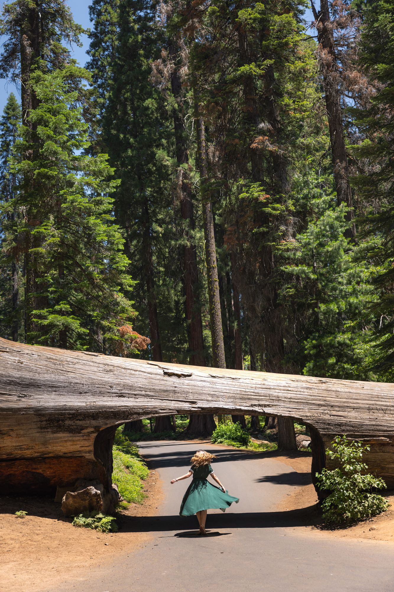
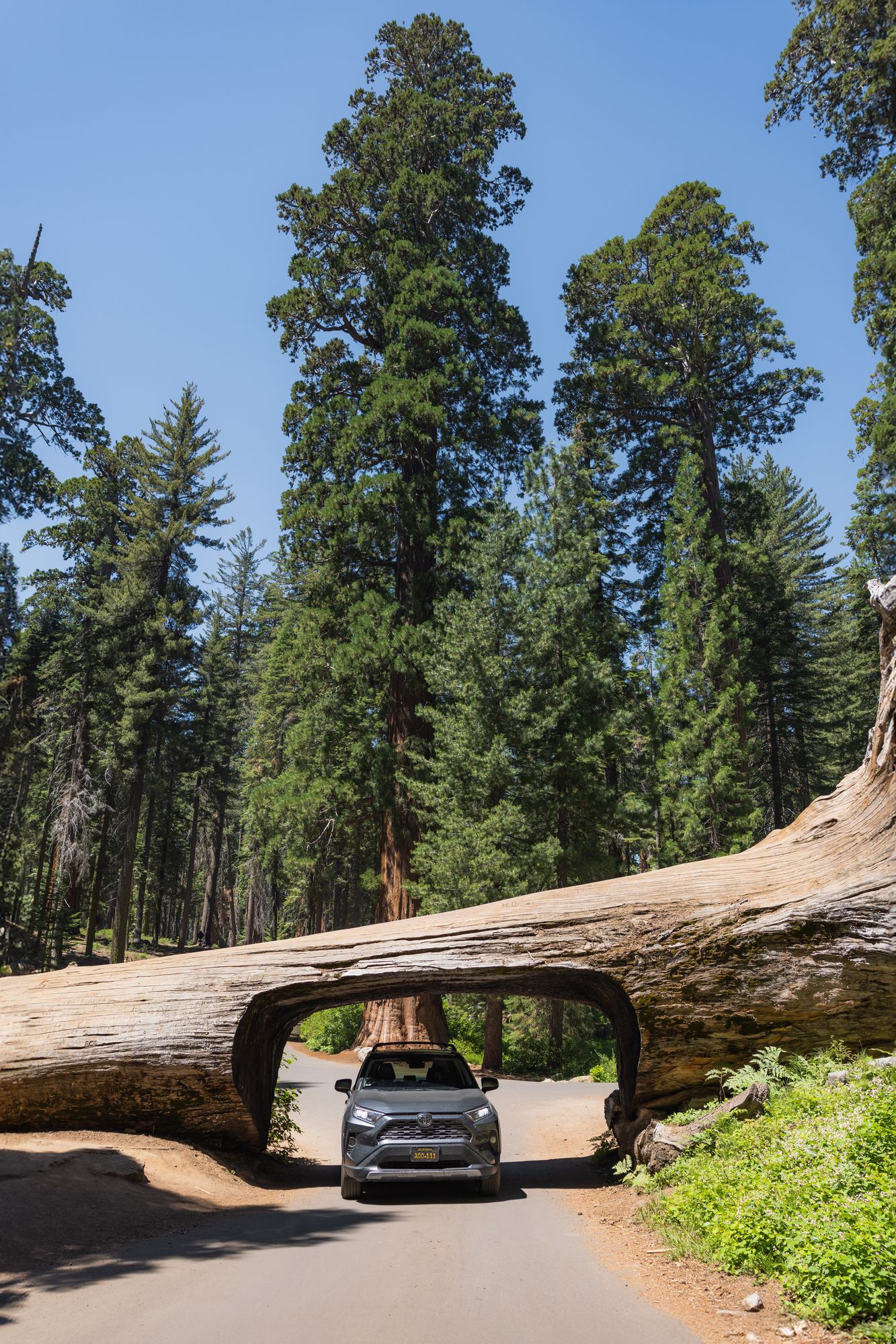
Walking and driving under the Tunnel Log
The Tunnel Log is one of the only places in the world where you can drive under a natural tree log. While it’s now an iconic spot for travelers to witness, it came about entirely by coincidence. A sequoia tree fell on the road in the late 1930s, and considering its hulking size, workers simply cut through the tree to get to the other side of the road. It’s now a major attraction in the drive-through of the park.
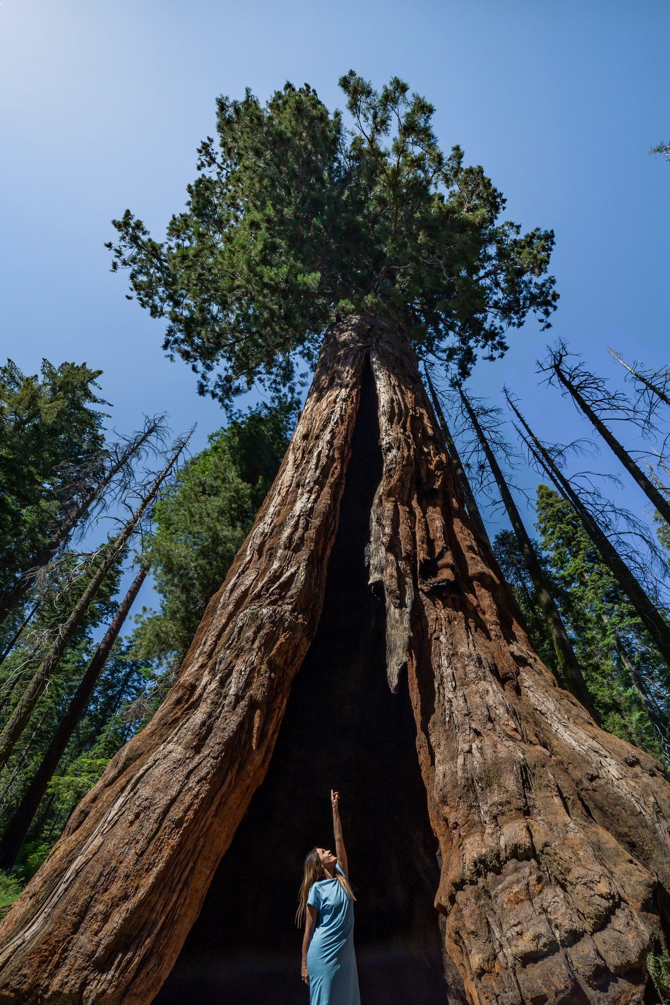
Crescent Meadow Tree
Along the road, you’ll also find the Crescent Meadow Road Tree, a giant sequoia with an outstretched mouth. Standing inside its jaws, you can feel the sheer size of this tree, while also being welcomed into the shelter of its shade. It’s a gorgeous landmark and a magical place to take pictures.
These are just some of my favorite hiking trails and viewing spots in the Sequoia National Park, but there’s so much more to see and admire in these wide acres of land. The park is usually mentioned with its close companion, the Kings Canyon National Park, but I’m working on an article exploring that specific park to the fullest. Both of these parks are gorgeous and deserve coverage separate from each other.
Where will this grand forest adventure take you next? Let me know what you think!
Do you love exploring in California? I created an interactive map just for you! Check out my California Travel Map with over 500 pins of the best spots and hidden gems for California Travel!
Are you looking for more California nature travel inspiration? Read: Best Things to Do in Redding and Shasta Cascade

