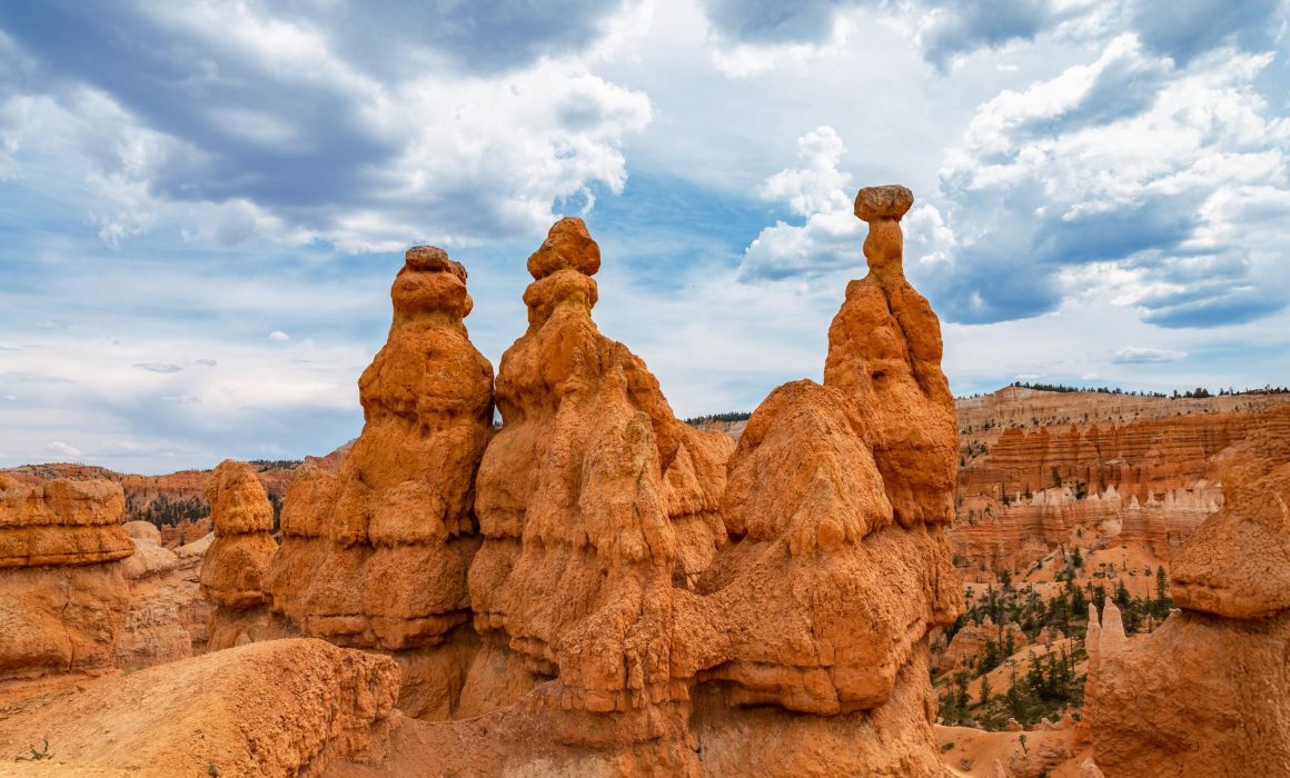
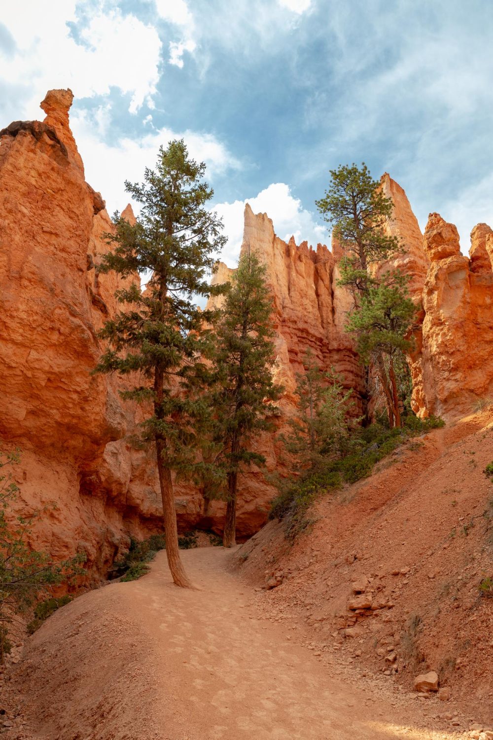
Bryce Canyon 1-Day Itinerary: Things to See and Do
Last Updated on April 2, 2025
Nowhere else in the US feels as otherworldly to me as the tall hoodoos of Bryce Canyon National Park. Since my last road trip along Utah’s great canyons, I’ve always thought it was an underrated gem out of Utah’s five famous national parks. Bryce is definitely my favorite out of all of them–and you can explore all of it in this simple Bryce Canyon 1-Day itinerary!
Bryce Canyon is a national park in the southwest of Utah near its larger cousin, Zion National Park. It has the highest density of irregularly shaped rock towers (called hoodoos) in the world and holds so many gorgeous views all year long.
During the day, you can see the orange and red layers of each hoodoo shining in the sun, all lined up across the amphitheater-shaped landscape. At night, the stars gleam overhead and the shadows of the canyon really shine. If you’re looking for otherworldly sights in the US, there’s nowhere better to go than here.
How to Get There
Bryce Canyon is just a little over 4 hours northeast of Las Vegas, heading up through Interstate 15. Most travelers usually visit the nearby Zion National Park first, so you can take the UT-9 road leading east to US-89. Travel up from there to UT-12, then down to UT-63 to reach Bryce Canyon.
Once you reach the park, you’ll be able to use the shuttle to get around. It’s free with your entrance ticket and you can also track the shuttle’s stops online.
Let’s look at the best stops in the canyon and when you should get there!
Bryce Canyon 1-Day Itinerary
Morning
Bryce Canyon takes an especially magnificent view during sunrise. Although the Visitor Center opens at 8 AM, you can come into the park at any time so long as you have a pass or your admission ticket.
If you come in just as the morning blue hour hits, you’ll find breathtaking shots of Bryce Canyon’s hoodoos along some of my favorite points:
Sunset Point
Sunset Point sits just east of the Sunset Campground and holds the most beautiful high point in all of Bryce Canyon. From here you’ll be able to see all the different layers of the hoodoo walls, along with the various trees and shrubbery growing in between.

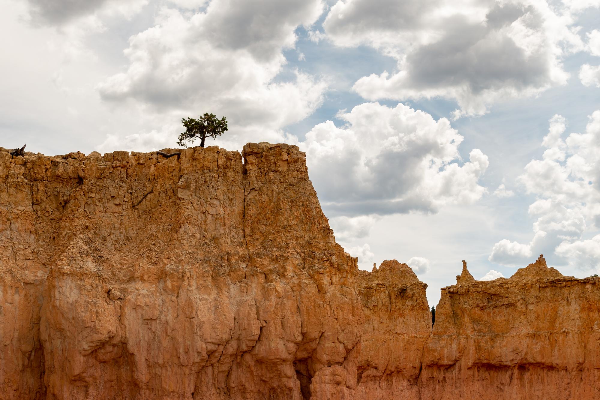
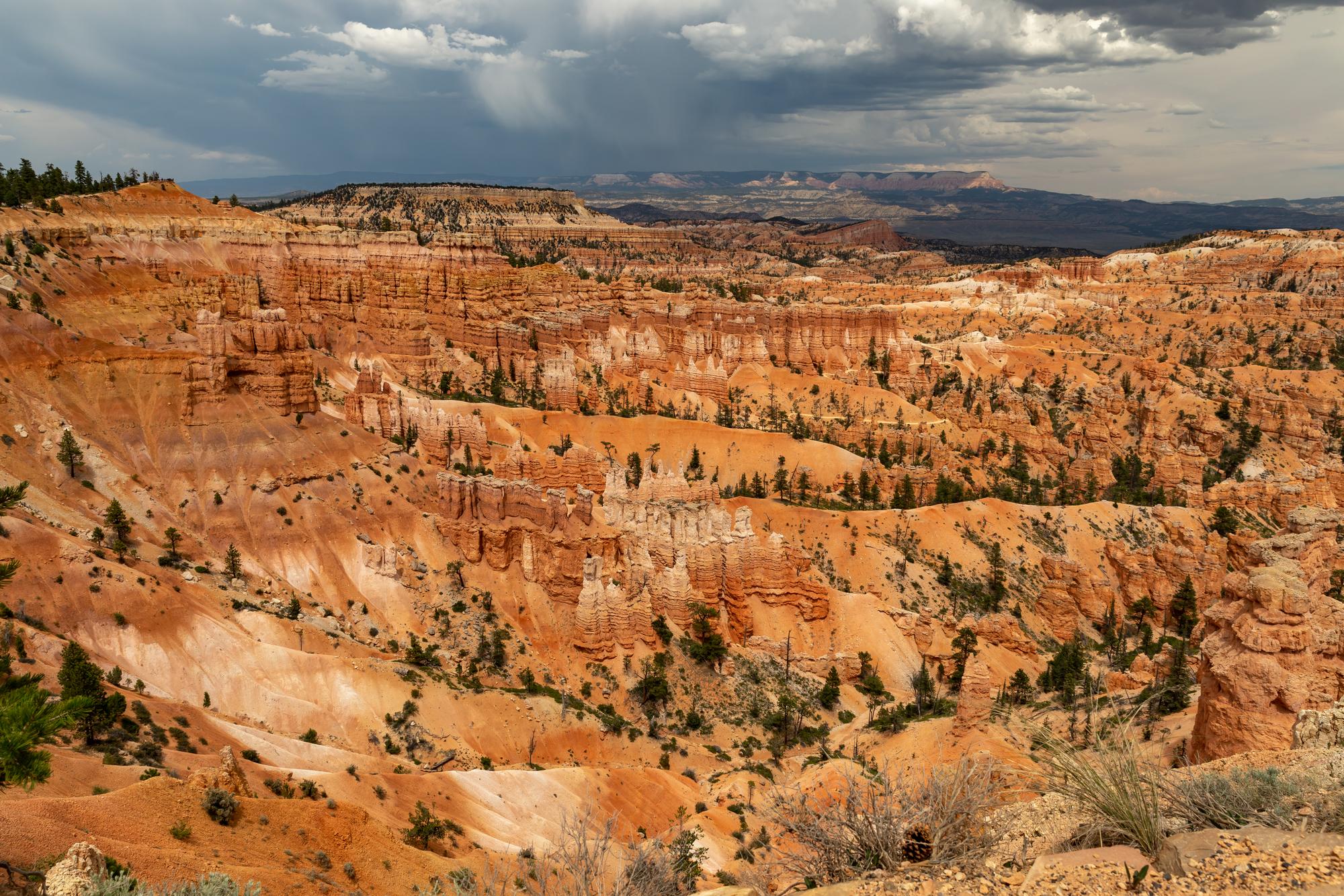
Sunset Point
Sunset is also an midpoint for the Rim Trail, a popular 5.5-mile hike that leads south to Inspiration Point and north to Sunrise Point. While you’re still catching the early morning rays from Sunset, hike 0.5 miles up from this point to–
Sunrise Point
Furthest north on the Rim Trail, Sunrise Point offers a different but equally captivating view of Bryce’s landscape. Here you’ll have a much broader view of the open amphitheatre, looking at the massive hoodoos from afar.

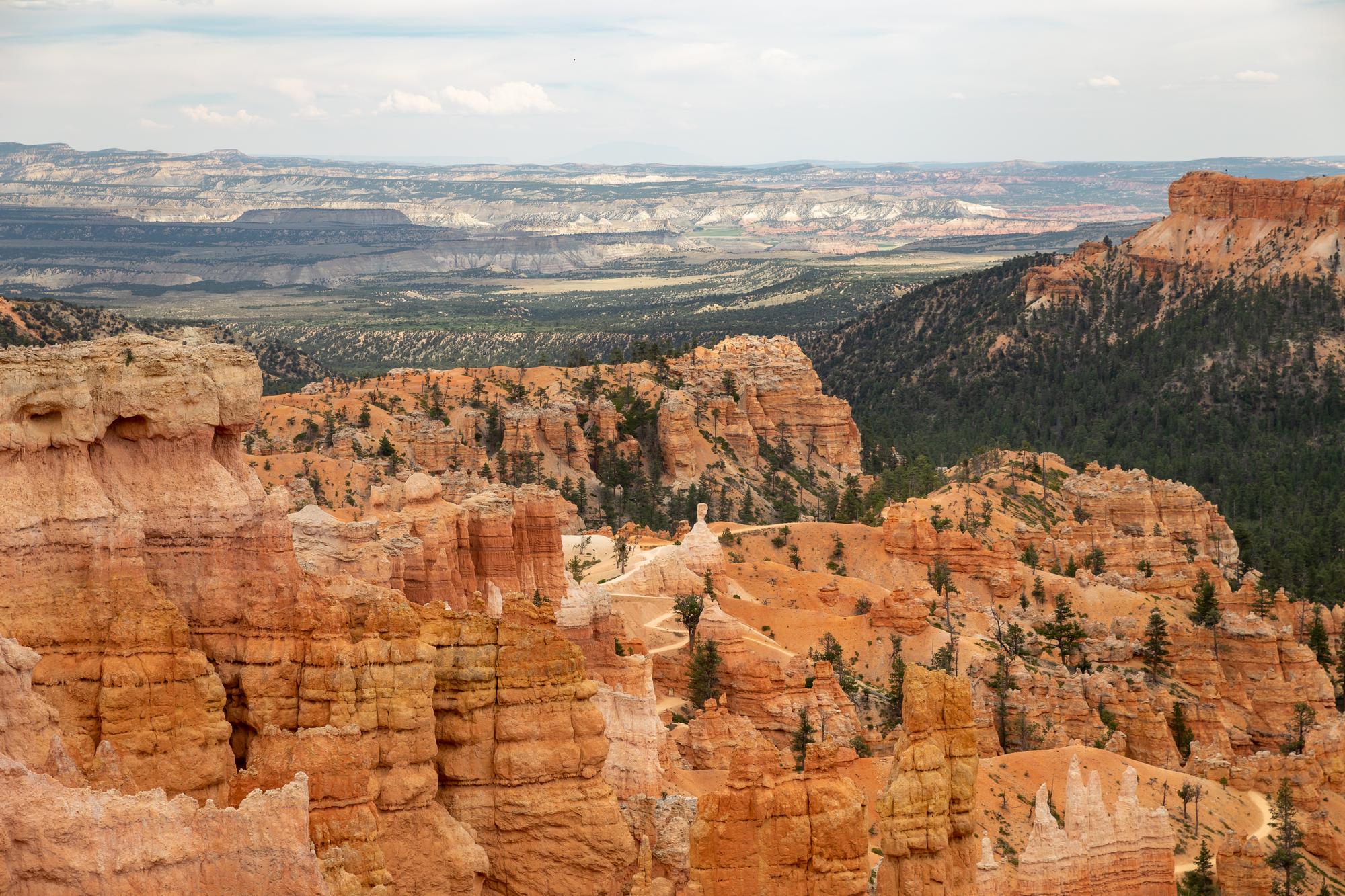
Sunrise Point
The change of colors from orange to red becomes even more obvious here. You can also clearly see the white lines that separate geological eras in the canyon. There’s also a rare species of pine tree called the Limber Pine which grows along Sunrise’s tall ridges.
Noon
After sightseeing at two of Bryce Canyon’s major points, you’ll probably find a lot of different trails to hike down for the rest of the afternoon. This Bryce Canyon 1-day itinerary has a handful of them. Here are some of my must-visit paths if you’re only here for a day:
The Queen’s Garden Trail starts right below Sunrise Point and it’s one of the easiest trails through Bryce Canyon’s hoodoos. It’s a moderate 2-mile hike around the hoodoo structures of north Bryce Canyon, with light elevation and ready supplies available at Sunrise Point.
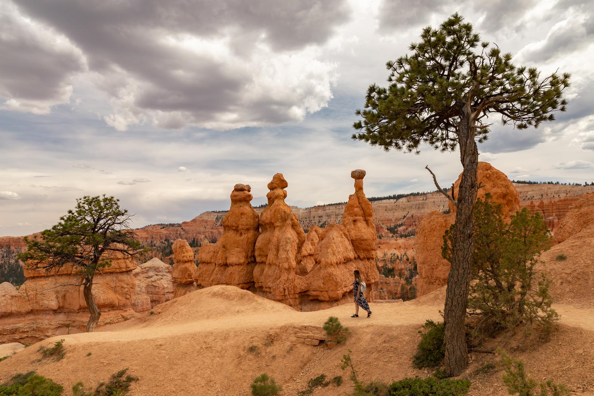

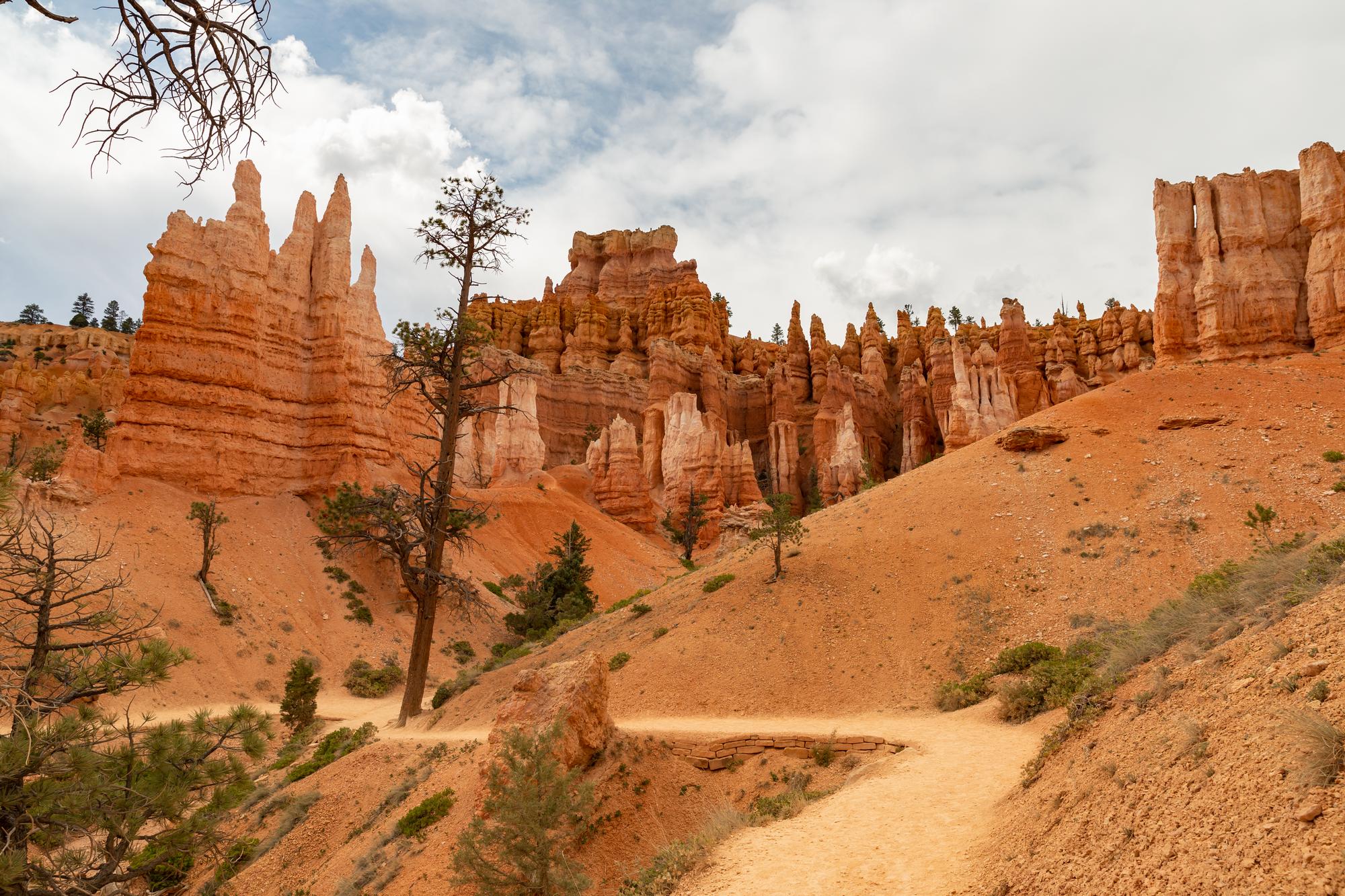
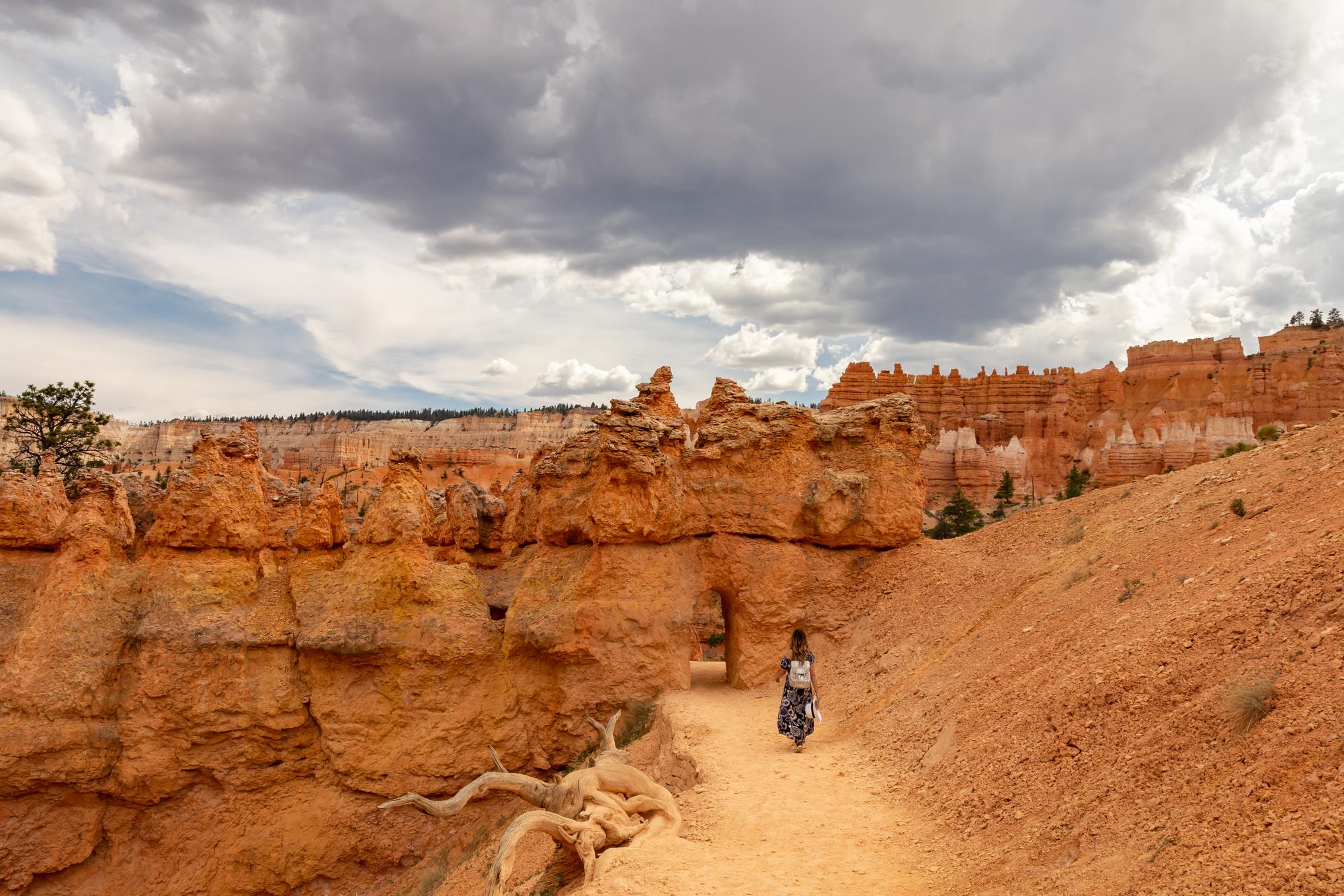
Queen’s Garden Trail
The trail gets its name from the hoodoo ‘castles’ standing on the west side of it. Gulliver’s Castle and Queen’s Castle are wider hoodoo formations you’ll find here that look a little like palaces with high towers. Further ahead you’ll also find Queen Elizabeth Rock, a pyramid-shaped rock structure with a top end that looks like a woman in an elegant dress.
Right at the end of the Queen’s Garden trail, you’ll get the choice of hiking back to where you started or looping up to Sunset Point. The more popular option is climbing back to Sunset, where most visitors follow the–
The Navajo Loop Trail is a short 1.5-mile trail around some of Bryce Canyon’s most famous hoodoo structures. It splits into two halves that circle around in a loop during the summer, though one half (Wall Street) may be closed during the winter and spring over fear of rock fall.
Navajo Trail
I’d recommend taking the Wall Street path when possible since it has some of the more iconic structures in the Bryce Canyon amphitheater. Here’s a quick look at what you can expect from each branched path:
Two Bridges
The Two Bridges is located on the right trail of the hike. They’re a pair of unique-looking rock bridges that have been carved out over time from wind and erosion, though both ends are still melted into the cliffsides.
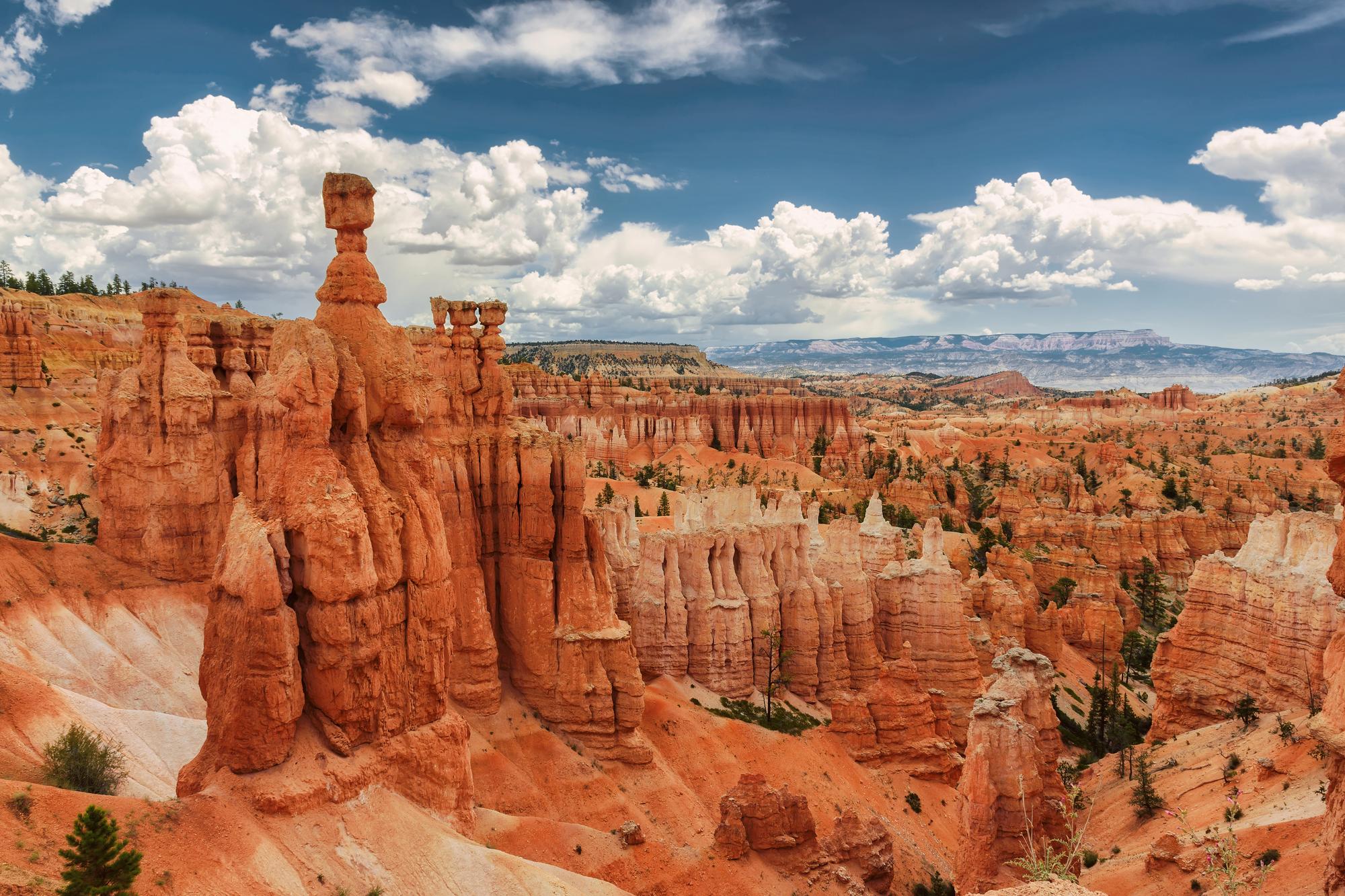
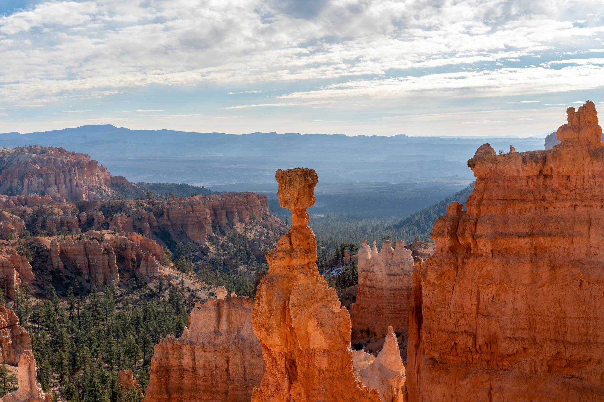
Thor’s Hammer
You’ll also get a good view of Thor’s Hammer along this path, arguably Bryce’s main claim to fame. It’s a tall hoodoo structure balancing a massive block at the top shaped like a hammer. It’s very impressive, and you can see it up close just a little bit after the Two Bridges.
While the Two Bridges path of the trail is scenic, it gets challenging when you get to the winding switchbacks up ahead. Be ready with proper equipment to navigate the area.
If you’re going in summer, you can reach the end and circle back through Wall Street. In winter or spring, though, it’d be better to connect this path with the Queen’s Garden Trail from before.
Wall Street
The Wall Street path is an absolutely gorgeous section of the Navajo Trail that leads you through a narrow slot-like trail. It doesn’t take too long to wander downward in between the slot canyons, and the sunlight shines beautifully over the orange rock faces at noon.
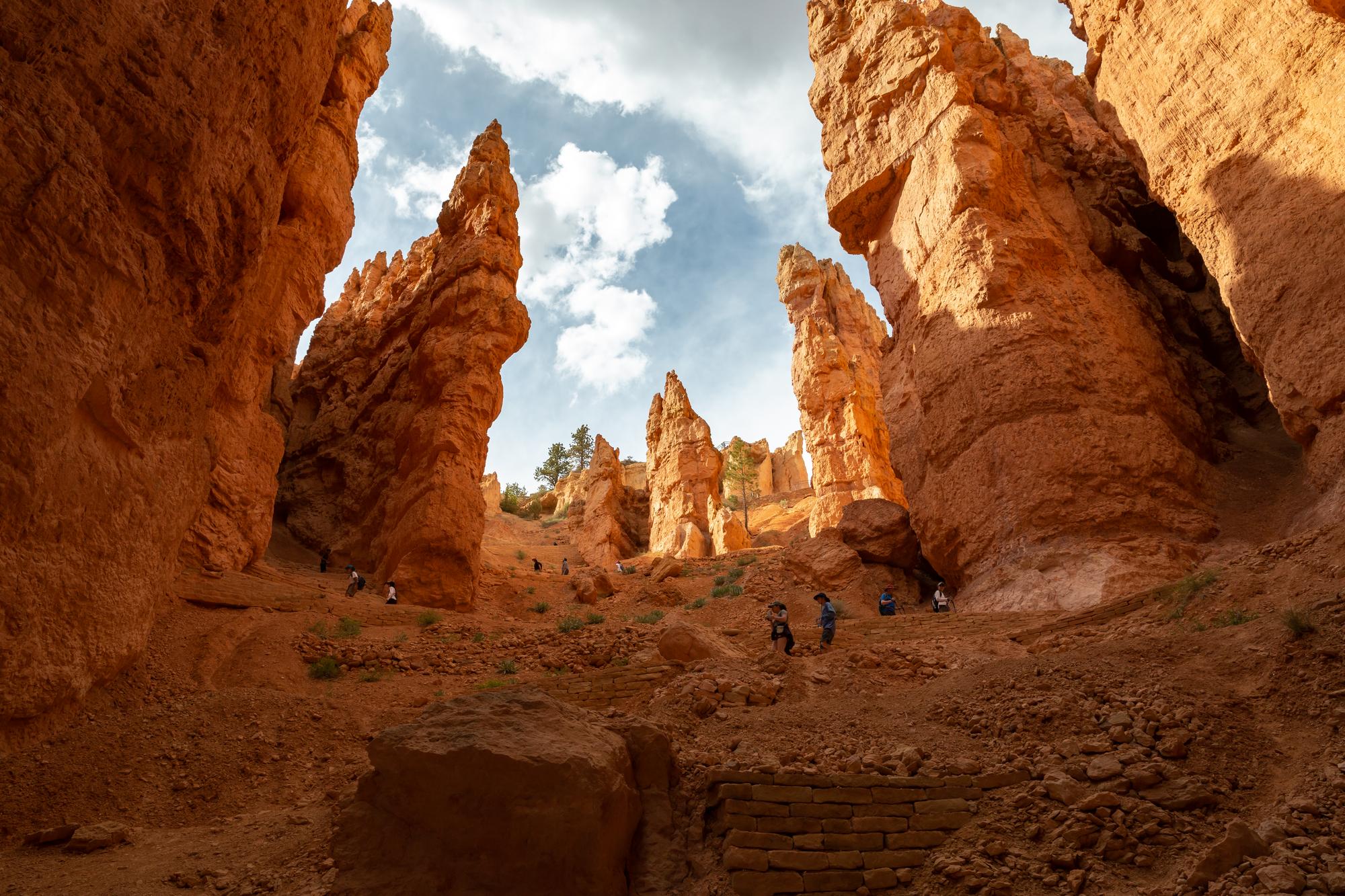

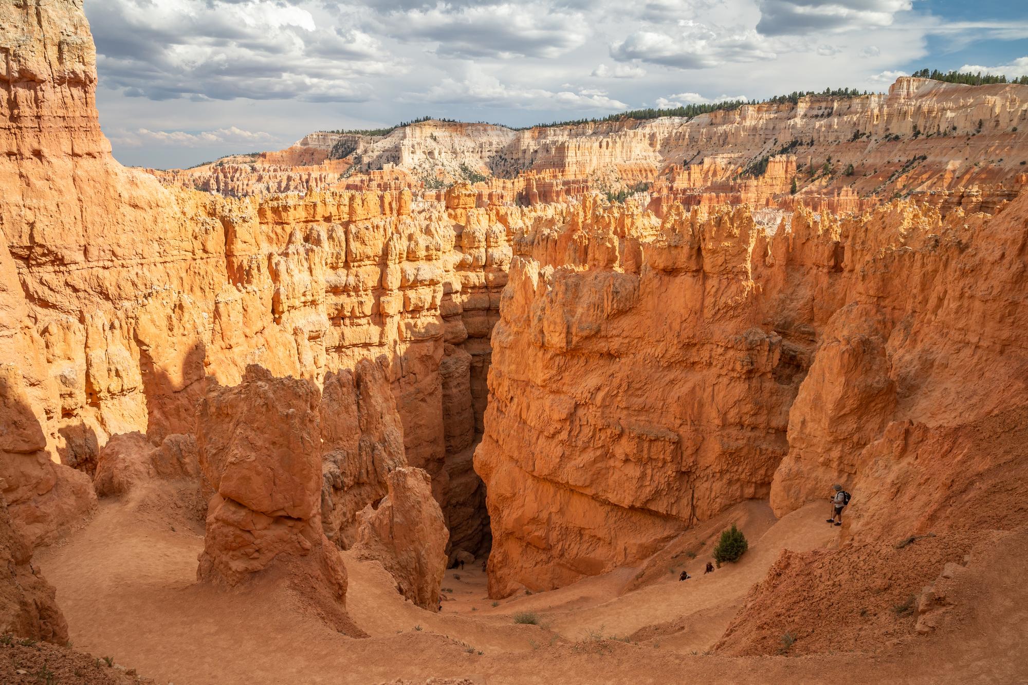
Wall Street
You’ll come across a pair of Douglas fir trees growing in between the slot canyon. These trees have remained there for around six hundred years, and they’re an essential stopping point during the hike.
Generally I’d always recommend visiting Bryce Canyon during the summer just for the views in Wall Street alone. It was one of my most memorable moments during my last trip to Utah, and definitely a must-visit spot for anybody planning their next visit.
Evening
By now you’ll likely have hiked for several hours, and sunset will be closing in on the horizon. With this Bryce Canyon 1-day itinerary coming to a close, it’s nice to wind down and enjoy one last major point. Take the last few hours of your time in Bryce Canyon to hike down to–
Inspiration Point
When the sun sets on Inspiration Point, the light paints all of Bryce Canyon’s hoodoos in spectacular oranges and reds. You can see the canyon’s massive hoodoo formations lined up all across here, and it becomes such a breathtaking place to stay and watch the twilight.
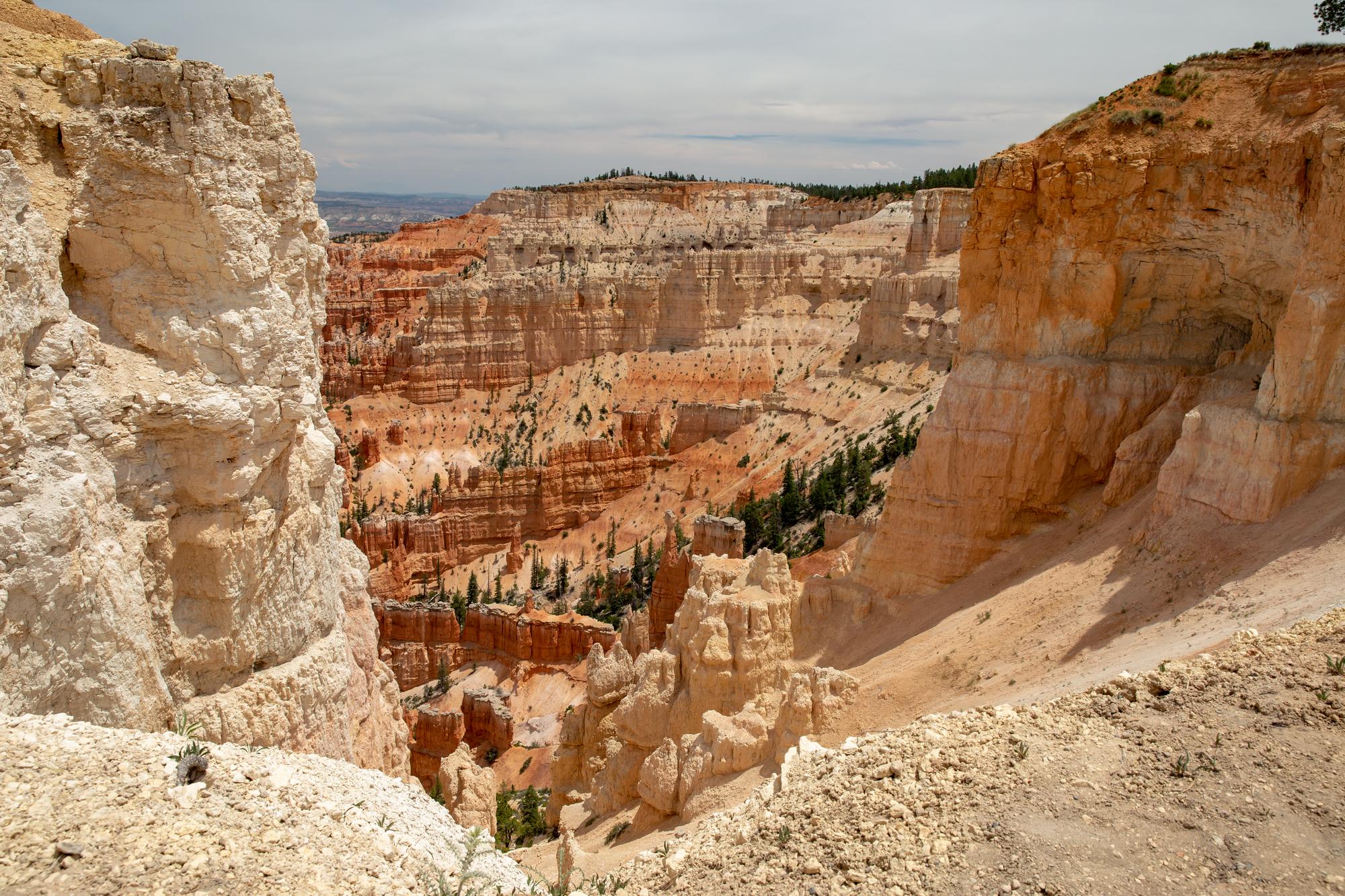
Lower Inspiration Point
Inspiration Point is split into three subsections, and you should absolutely make an effort to climb up to all three.
The lower point is the busiest one since it’s more accessible and closer to the parking lot, and it’s also just a few minutes away from the Rim Trailhead if you’re interested in continuing your hikes. It also has an unmatched view of the fir trees and hoodoos stretched out along the amphitheatre.

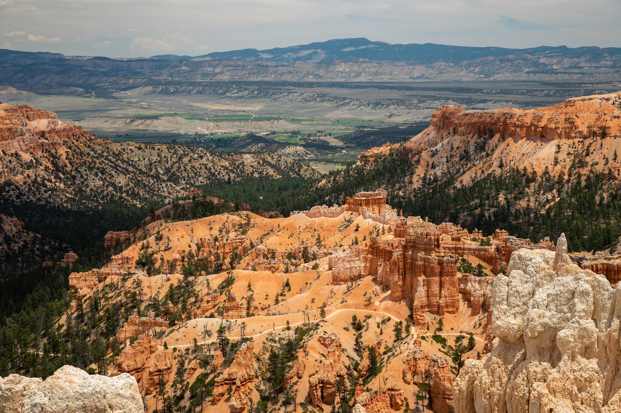
Middle Inspiration Point
The middle point shares a similar view as the lower one, but it’s closer to some hoodoo structures. It makes for really nice foreground photography!
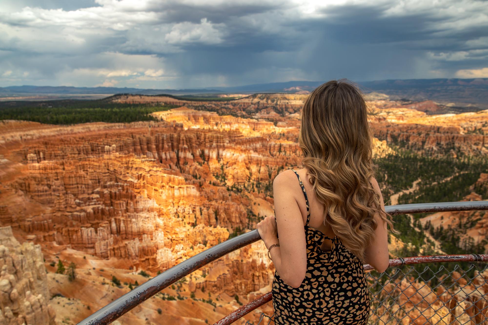
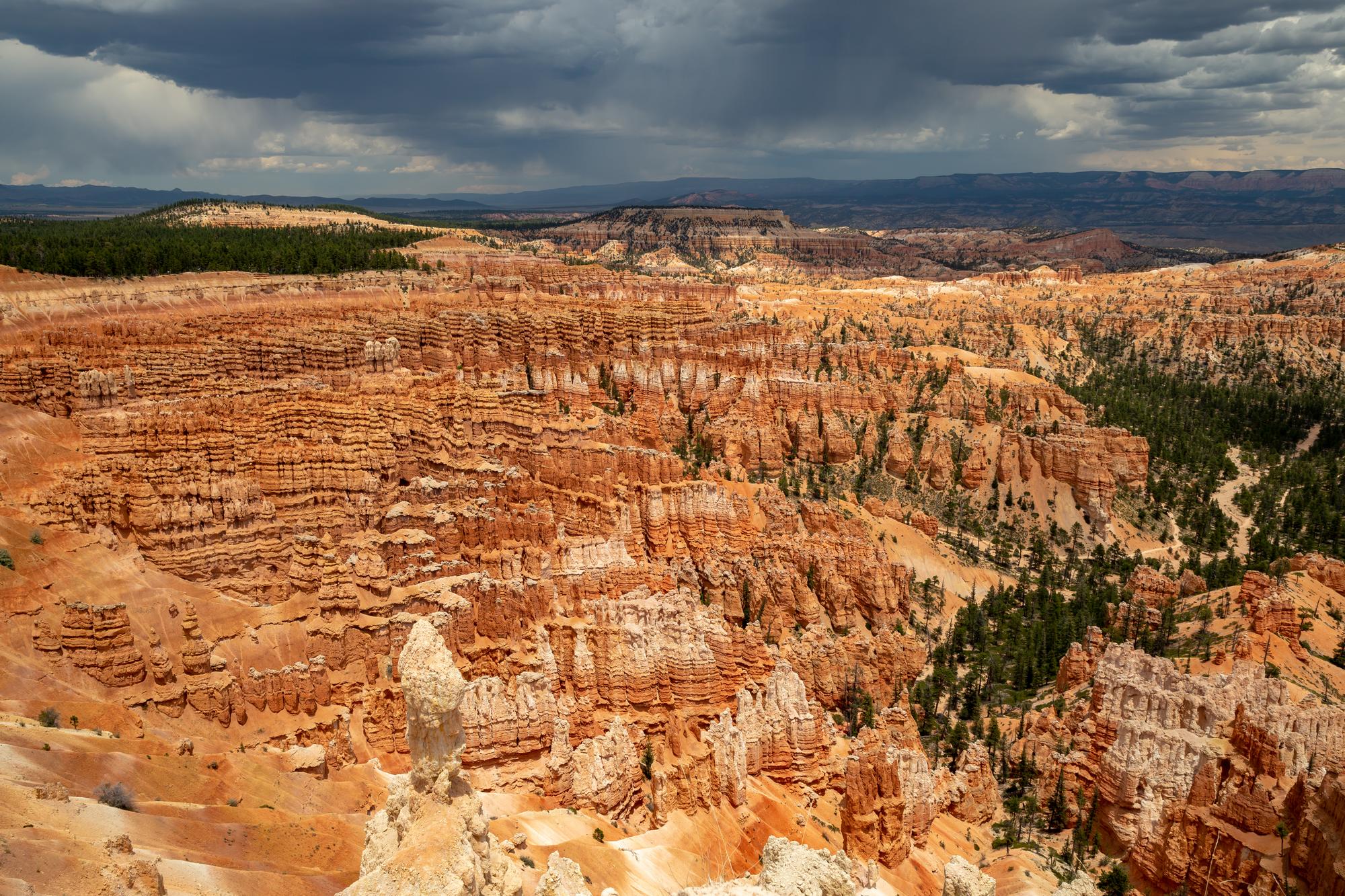
Higher Inspiration Point
The path leading up to the upper point is a little steep so I’d recommend sticking to the nearby railings when you can. Getting up to the upper point rewards you with the most amazing view of the area–a 360 shot of Bryce Canyon’s alien amphitheater along with the plateaus and canyons all across Utah.
And that’s the perfect way to end our Bryce Canyon one-day itinerary! Bryce Canyon’s unique hoodoo structures and unparalleled colors make it a must-see spot for anyone visiting Utah, in my opinion. Which hoodoo lookout was your favorite?
If you’re interested in other wonderful summer vacation getaways, check out my first-timer’s guide to Kauai Island!
If you’re interested in exploring California, check my interactive map with over 600 pins just for you: Check out my California Travel Map. It has all the best spots and hidden gems for California Travel!

